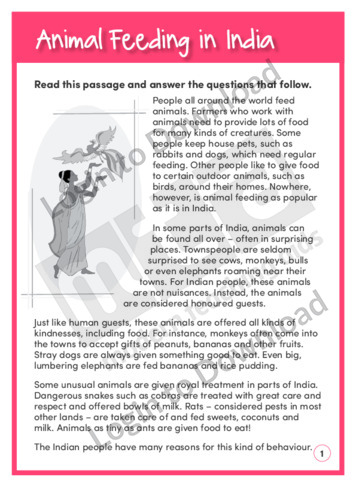
This reading comprehension activity, ‘Animal Feeding in India’ asks students to answer comprehension questions about feeding different animals in India. It is aimed at developing students’ awareness of semantics and encourages them to recall the main idea and the supporting details of the informative text.
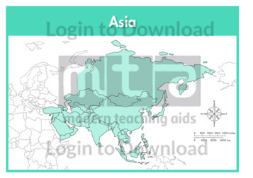
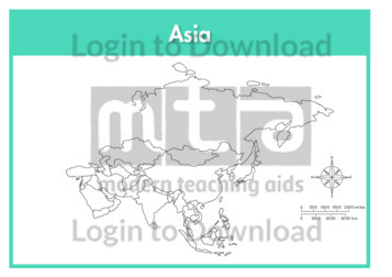
This continent map of Asia is a single full page map complete with compass and scale that can be reproduced for classroom use. It is left blank for students to identify and label countries, key cities, bordering countries and surrounding seas and oceans.
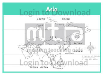
This continent outline map of Asia with labels is a single full page map complete with compass and scale that can be reproduced for classroom use. It features labelled surrounding seas and oceans.
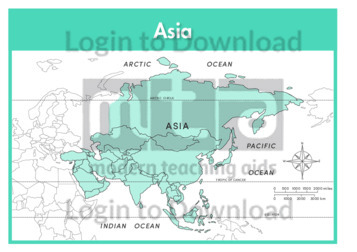
This continent map of Asia with labels is a single full page map complete with compass and scale that can be reproduced for classroom use. It features labelled surrounding seas and oceans.
This continent outline map of Asia is a single full page map complete with compass and scale that can be reproduced for classroom use. It is left blank for students to identify and label countries, key cities, bordering countries and surrounding seas and oceans.
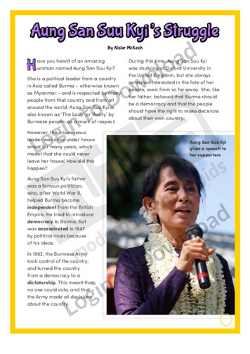
This hands-on activity, ‘Aung San Suu Kyi’s Struggle’ features Burmese political leader Aung San Suu Kyi. It provides factual information about her courageous fight for democracy in Burma and is aimed at broadening students’ cultural and historical awareness in a fun and engaging manner.
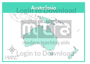
This continent full colour map of Australasia is a single full page map complete with compass and scale that can be reproduced for classroom use. It is left blank for students to identify and label countries, key cities, bordering countries and surrounding seas and oceans.
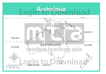
This continent outline map of Australasia with labels is a single full page map complete with compass and scale that can be reproduced for classroom use. It features labelled surrounding seas and oceans.
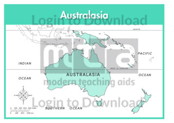
This continent full colour map of Australasia with labels is a single full page map complete with compass and scale that can be reproduced for classroom use. It features labelled surrounding seas and oceans.
This continent outline map of Australasia is a single full page map complete with compass and scale that can be reproduced for classroom use. It is left blank for students to identify and label countries, key cities, bordering countries and surrounding seas and oceans.
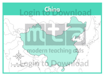
This full colour map of China is a single full page map complete with compass and scale that can be reproduced for classroom use. It is left blank for students to identify and label key cities, geographical landmarks, surrounding seas and bordering countries.
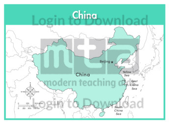
This full colour map of China with labels is a single full page map complete with compass and scale that can be reproduced for classroom use. It features the labelled capital city, surrounding seas and indicates bordering countries.
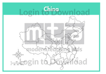
This outline map of China with provinces is a single full page map complete with compass and scale that can be reproduced for classroom use. It features province borders for students to identify and label along with key cities, geographical landmarks and surrounding seas.
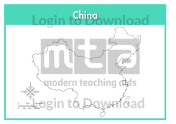
This outline map of China is a single full page map complete with compass and scale that can be reproduced for classroom use. It is left blank for students to identify and label key cities, geographical landmarks and surrounding seas.
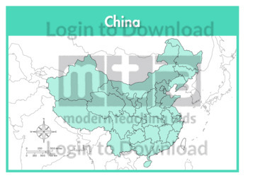
This full colour map of China with provinces is a single full page map complete with compass and scale that can be reproduced for classroom use. It features province borders for students to identify and label along with key cities, geographical landmarks and surrounding seas.
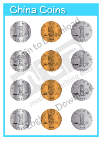
This maths manipulative, ‘Currency: China Coins’ can be reproduced for classroom use.
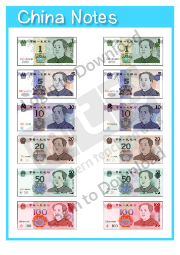
This maths manipulative, ‘Currency: China Notes’ can be reproduced for classroom use.
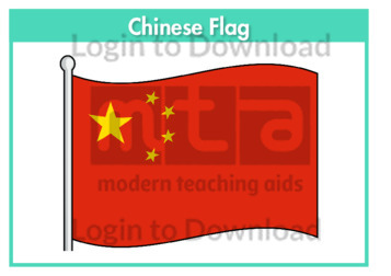
This flag worksheet features the Chinese flag in full colour followed by a black and white version for students to colour in the appropriate colours.
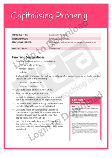
This Writing Traits activity ‘Capitalising Properly’ encourages students to use appropriate capitalisation in their writing.
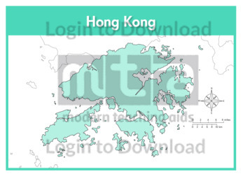
This full colour map of Hong Kong is a single full page map complete with compass and scale that can be reproduced for classroom use. It is left blank for students to identify and label key cities, geographical landmarks, surrounding seas and bordering countries.
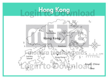
This outline map of Hong Kong with labels is a single full page map complete with compass and scale that can be reproduced for classroom use. It features labelled key cities and surrounding seas.
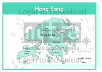
This full colour map of Hong Kong with labels is a single full page map complete with compass and scale that can be reproduced for classroom use. It features labelled key cities, surrounding seas and indicates bordering countries.
This outline map of Hong Kong is a single full page map complete with compass and scale that can be reproduced for classroom use. It is left blank for students to identify and label key cities and surrounding seas.
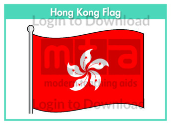
This flag worksheet features the Hong Kong flag in full colour followed by a black and white version for students to colour in the appropriate colours.
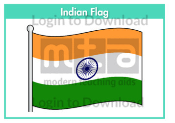
This flag worksheet features the Indian flag in full colour followed by a black and white version for students to colour in the appropriate colours.
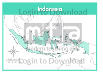
This full colour map of Indonesia is a single full page map complete with compass and scale that can be reproduced for classroom use. It is left blank for students to identify and label islands, key cities, geographical landmarks, surrounding seas and oceans and bordering countries.
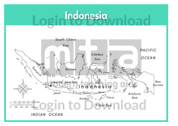
This outline map of Indonesia with labels is a single full page map complete with compass and scale that can be reproduced for classroom use. It features labelled islands and surrounding seas.
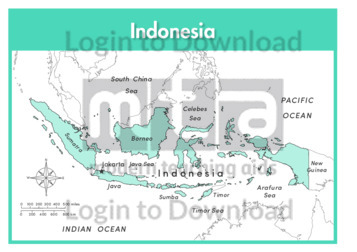
This full colour map of Indonesia with labels is a single full page map complete with compass and scale that can be reproduced for classroom use. It features labelled islands, surrounding seas and oceans and indicates bordering countries.
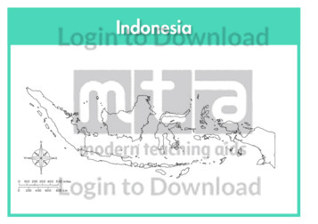
This outline map of Indonesia is a single full page map complete with compass and scale that can be reproduced for classroom use. It is left blank for students to identify and label islands, key cities, geographical landmarks and surrounding seas and oceans.
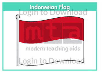
This flag worksheet features the Indonesian flag in full colour followed by a black and white version for students to colour in the appropriate colours.
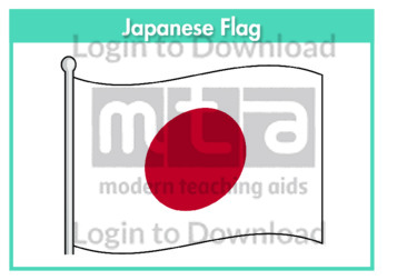
This flag worksheet features the Japanese flag in full colour followed by a black and white version for students to colour in the appropriate colours.
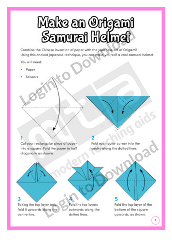
This hands-on activity, ‘Make an Origami Samurai Helmet’ shows students how to make a samurai helmet using the ancient Japanese technique of origami. It provides step-by-step instructions and is aimed at broadening students’ cultural and historical awareness in a fun and engaging manner.
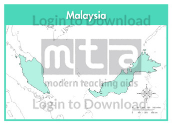
This full colour map of Malaysia is a single full page map complete with compass and scale that can be reproduced for classroom use. It is left blank for students to identify and label key cities, geographical landmarks, surrounding seas and bordering countries.
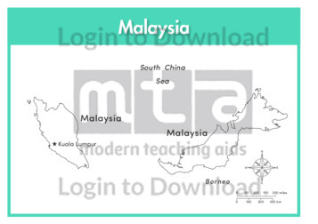
This outline map of Malaysia with labels is a single full page map complete with compass and scale that can be reproduced for classroom use. It features the labelled capital city and surrounding seas.
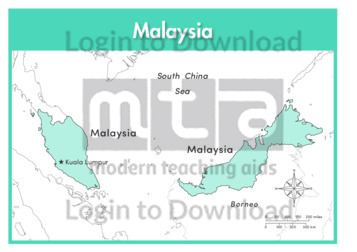
This full colour map of Malaysia with labels is a single full page map complete with compass and scale that can be reproduced for classroom use. It features the labelled capital city, surrounding seas and indicates bordering countries.
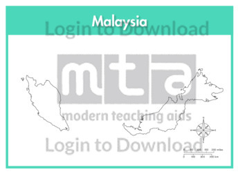
This outline map of Malaysia is a single full page map complete with compass and scale that can be reproduced for classroom use. It is left blank for students to identify and label key cities and surrounding seas.
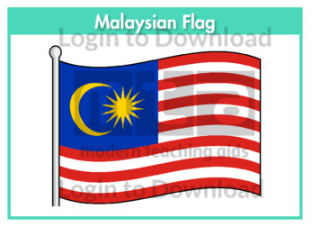
This flag worksheet features the Malaysian flag in full colour followed by a black and white version for students to colour in the appropriate colours.
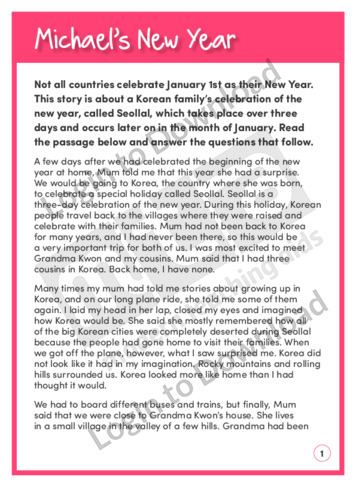
This reading comprehension activity, ‘Michael’s New Year’ asks students to answer comprehension questions about a story in which a boy and his mother go to Korea to celebrate New Year. It is aimed at developing students’ awareness of semantics and encourages them to recall information and think about phrases with deeper meanings.
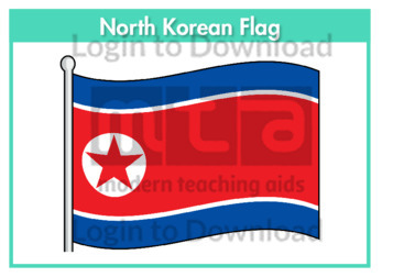
This flag worksheet features the North Korean flag in full colour followed by a black and white version for students to colour in the appropriate colours.
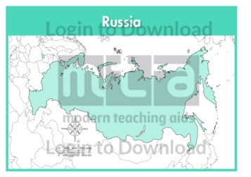
This full colour map of Russia is a single full page map complete with compass and scale that can be reproduced for classroom use. It is left blank for students to identify and label key cities, geographical landmarks, surrounding seas and oceans and bordering countries.
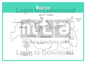
This outline map of Russia with labels is a single full page map complete with compass and scale that can be reproduced for classroom use. It features labelled key cities and surrounding seas and oceans.
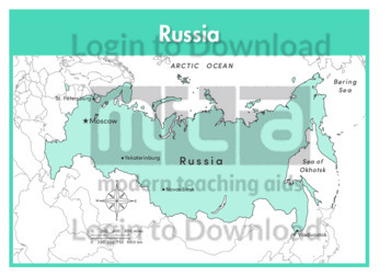
This full colour map of Russia with labels is a single full page map complete with compass and scale that can be reproduced for classroom use. It features labelled key cities, surrounding seas and oceans and indicates bordering countries.
This outline map of Russia is a single full page map complete with compass and scale that can be reproduced for classroom use. It is left blank for students to identify and label key cities, geographical landmarks and surrounding seas and oceans.
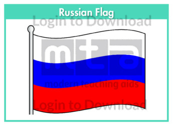
This flag worksheet features the Russian flag in full colour followed by a black and white version for students to colour in the appropriate colours.
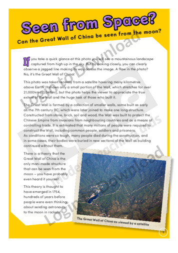
This history article, ‘Seen from Space?’ features the Great Wall of China. It provides factual information about the Great Wall and its construction and is aimed at broadening students’ cultural and historical awareness.
This full colour map of Singapore is a single full page map complete with compass and scale that can be reproduced for classroom use. It is left blank for students to identify and label key cities, geographical landmarks, surrounding seas and bordering countries.
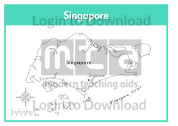
This outline map of Singapore with labels is a single full page map complete with compass and scale that can be reproduced for classroom use. It features the labelled capital city and surrounding seas.
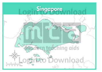
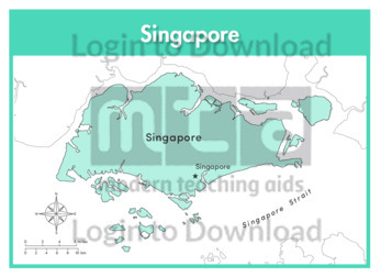
This full colour map of Singapore with labels is a single full page map complete with compass and scale that can be reproduced for classroom use. It features the labelled capital city, surrounding seas and indicates bordering countries.
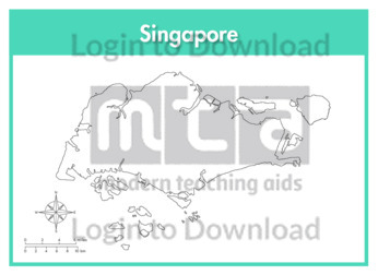
This outline map of Singapore is a single full page map complete with compass and scale that can be reproduced for classroom use. It is left blank for students to identify and label key cities and surrounding seas.
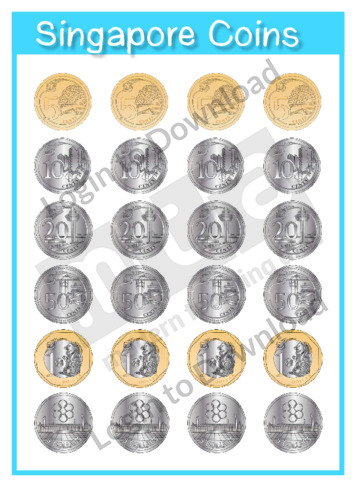
This maths manipulative, ‘Currency: Singapore Coins’ can be reproduced for classroom use.
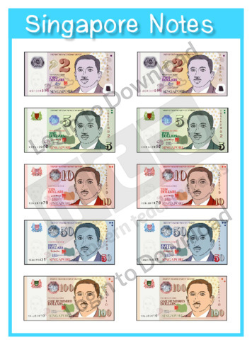
This maths manipulative, ‘Currency: Singapore Notes’ can be reproduced for classroom use.
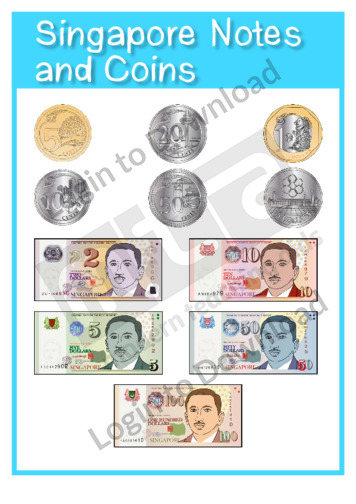
This maths manipulative, ‘Currency: Singapore Notes and Coins’ can be reproduced for classroom use.
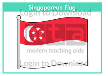
This flag worksheet features the Singaporean flag in full colour followed by a black and white version for students to colour in the appropriate colours.
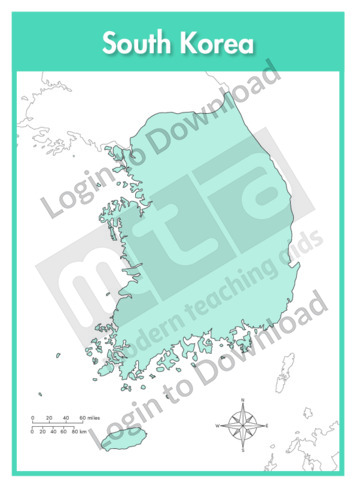
This full colour map of South Korea is a single full page map complete with compass and scale that can be reproduced for classroom use. It is left blank for students to identify and label key cities, geographical landmarks, surrounding seas and bordering countries.
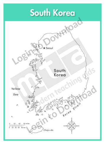
This outline map of South Korea with labels is a single full page map complete with compass and scale that can be reproduced for classroom use. It features the labelled capital city and surrounding seas.
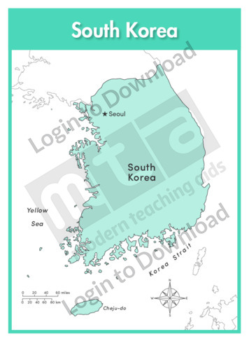
This full colour map of South Korea with labels is a single full page map complete with compass and scale that can be reproduced for classroom use. It features the labelled capital city, surrounding seas and indicates bordering countries.
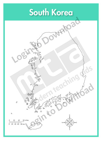
This outline map of South Korea is a single full page map complete with compass and scale that can be reproduced for classroom use. It is left blank for students to identify and label key cities, geographical landmarks and surrounding seas.
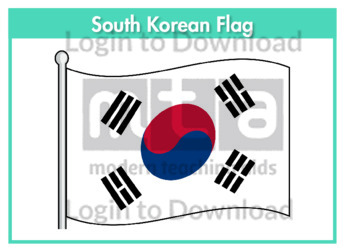
This flag worksheet features the South Korean flag in full colour followed by a black and white version for students to colour in the appropriate colours.
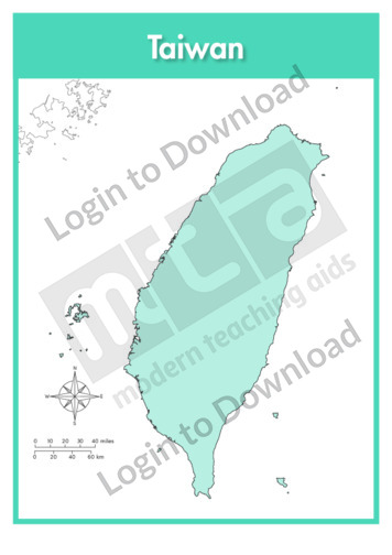
This full colour map of Taiwan is a single full page map complete with compass and scale that can be reproduced for classroom use. It is left blank for students to identify and label key cities, geographical landmarks and surrounding seas and oceans.
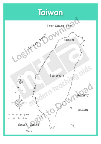
This outline map of Taiwan with labels is a single full page map complete with compass and scale that can be reproduced for classroom use. It features the labelled capital city and surrounding seas and oceans.
It�s that easy!

