
This continent map of Europe is a single full page map complete with compass and scale that can be reproduced for classroom use. It is left blank for students to identify and label countries, key cities, bordering countries and surrounding seas and oceans.
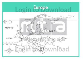
This continent outline map of Europe with labels is a single full page map complete with compass and scale that can be reproduced for classroom use. It features labelled surrounding seas and oceans.

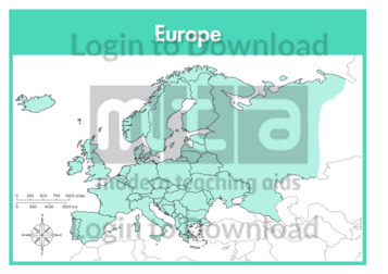
This continent map of Europe with labels is a single full page map complete with compass and scale that can be reproduced for classroom use. It features labelled surrounding seas and oceans.
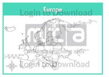
This continent outline map of Europe is a single full page map complete with compass and scale that can be reproduced for classroom use. It is left blank for students to identify and label countries, key cities, bordering countries and surrounding seas and oceans.
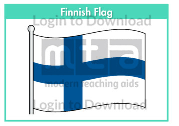
This flag worksheet features the Finnish flag in full colour followed by a black and white version for students to colour in the appropriate colours.
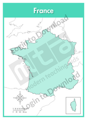
This full colour map of France is a single full page map complete with compass and scale that can be reproduced for classroom use. It is left blank for students to identify and label key cities, geographical landmarks, surrounding seas and bordering countries. It also includes an inset of the French territory Corsica and a …More
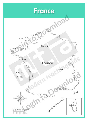
This outline map of France with labels is a single full page map complete with compass and scale that can be reproduced for classroom use. It features labelled key cities and surrounding seas. It also includes an inset of the French territory Corsica and a compass and scale.
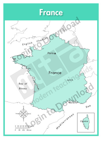
This full colour map of France with labels is a single full page map complete with compass and scale that can be reproduced for classroom use. It features labelled key cities, surrounding seas and indicates bordering countries. It also includes an inset of the French territory Corsica and a compass and scale.
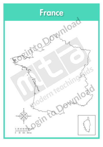
This outline map of France is a single full page map complete with compass and scale that can be reproduced for classroom use. It is left blank for students to identify and label key cities, geographical landmarks and surrounding seas. It also includes an inset of the French territory Corsica and a compass and scale.
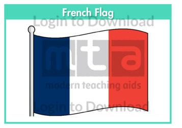
This flag worksheet features the French flag in full colour followed by a black and white version for students to colour in the appropriate colours.
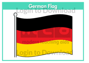
This flag worksheet features the German flag in full colour followed by a black and white version for students to colour in the appropriate colours.
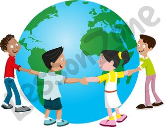
This illustration, “Globe and children” is available in PNG format at 300 DPI resolution with a transparent background for classroom use. This illustration is also available in black and white. Lesson Zone has over 4, 000 pieces of clip art, searchable by learning area and theme. The clip art is fast and easy to download, …More
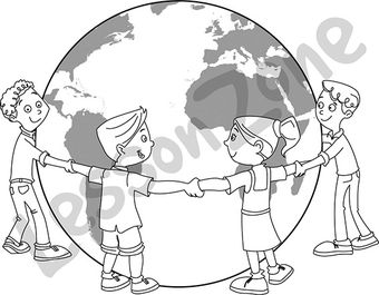
This black and white outline illustration, “Globe and children B&W” is available in PNG format at 300 DPI resolution with a transparent background for classroom use. This illustration is also available in colour. Lesson Zone has over 4, 000 pieces of clip art, searchable by learning area and theme. The clip art is fast and …More
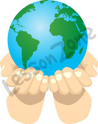
This illustration, “Globe and hands” is available in PNG format at 300 DPI resolution with a transparent background for classroom use. This illustration is also available in black and white. Lesson Zone has over 4, 000 pieces of clip art, searchable by learning area and theme. The clip art is fast and easy to download, …More
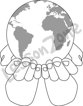
This black and white outline illustration, “Globe and hands B&W” is available in PNG format at 300 DPI resolution with a transparent background for classroom use. This illustration is also available in colour. Lesson Zone has over 4, 000 pieces of clip art, searchable by learning area and theme. The clip art is fast and …More
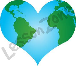
This illustration, “Globe and heart” is available in PNG format at 300 DPI resolution with a transparent background for classroom use. This illustration is also available in black and white. Lesson Zone has over 4, 000 pieces of clip art, searchable by learning area and theme. The clip art is fast and easy to download, …More
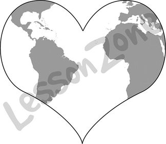
This black and white outline illustration, “Globe and heart B&W” is available in PNG format at 300 DPI resolution with a transparent background for classroom use. This illustration is also available in colour. Lesson Zone has over 4, 000 pieces of clip art, searchable by learning area and theme. The clip art is fast and …More
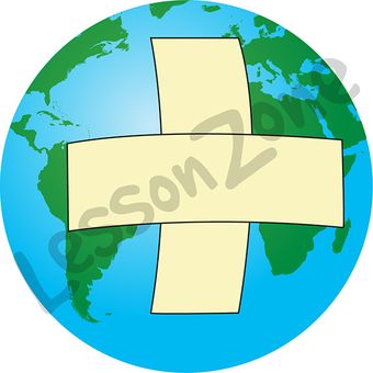
This illustration, “Globe and plaster” is available in PNG format at 300 DPI resolution with a transparent background for classroom use. This illustration is also available in black and white. Lesson Zone has over 4, 000 pieces of clip art, searchable by learning area and theme. The clip art is fast and easy to download, …More
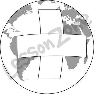
This black and white outline illustration, “Globe and plaster B&W” is available in PNG format at 300 DPI resolution with a transparent background for classroom use. This illustration is also available in colour. Lesson Zone has over 4, 000 pieces of clip art, searchable by learning area and theme. The clip art is fast and …More
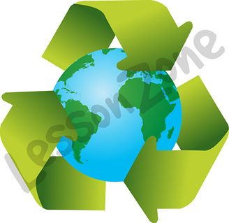
This illustration, “Globe and recycle symbol” is available in PNG format at 300 DPI resolution with a transparent background for classroom use. This illustration is also available in black and white. Lesson Zone has over 4, 000 pieces of clip art, searchable by learning area and theme. The clip art is fast and easy to …More
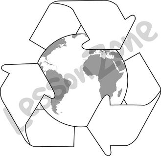
This black and white outline illustration, “Globe and recycle symbol B&W” is available in PNG format at 300 DPI resolution with a transparent background for classroom use. This illustration is also available in colour. Lesson Zone has over 4, 000 pieces of clip art, searchable by learning area and theme. The clip art is fast …More
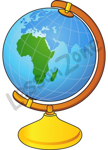
This illustration, “Globe showing Africa” is available in PNG format at 300 DPI resolution with a transparent background for classroom use. This illustration is also available in black and white. Lesson Zone has over 4, 000 pieces of clip art, searchable by learning area and theme. The clip art is fast and easy to download, …More
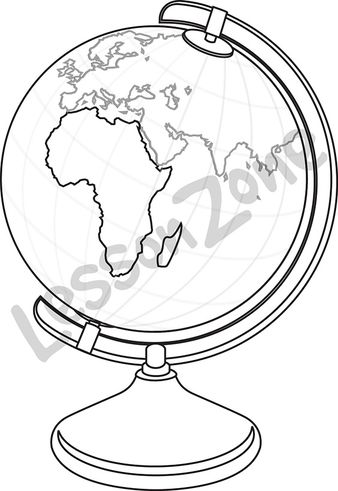
This black and white outline illustration, “Globe showing Africa B&W” is available in PNG format at 300 DPI resolution with a transparent background for classroom use. This illustration is also available in colour. Lesson Zone has over 4, 000 pieces of clip art, searchable by learning area and theme. The clip art is fast and …More
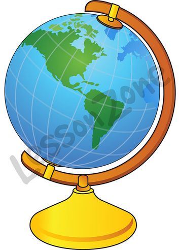
This illustration, “Globe showing America” is available in PNG format at 300 DPI resolution with a transparent background for classroom use. This illustration is also available in black and white. Lesson Zone has over 4, 000 pieces of clip art, searchable by learning area and theme. The clip art is fast and easy to download, …More
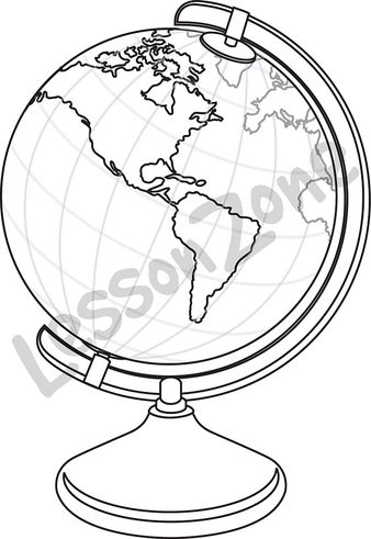
This black and white outline illustration, “Globe showing America B&W” is available in PNG format at 300 DPI resolution with a transparent background for classroom use. This illustration is also available in colour. Lesson Zone has over 4, 000 pieces of clip art, searchable by learning area and theme. The clip art is fast and …More
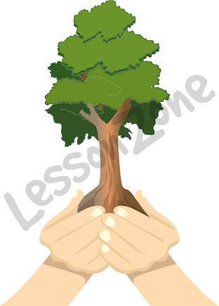
This illustration, “Hands and tree” is available in PNG format at 300 DPI resolution with a transparent background for classroom use. This illustration is also available in black and white. Lesson Zone has over 4, 000 pieces of clip art, searchable by learning area and theme. The clip art is fast and easy to download, …More
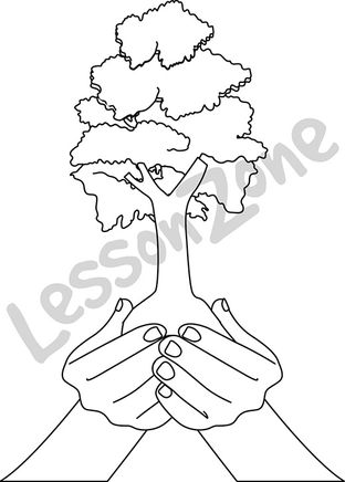
This black and white outline illustration, “Hands and tree B&W” is available in PNG format at 300 DPI resolution with a transparent background for classroom use. This illustration is also available in colour. Lesson Zone has over 4, 000 pieces of clip art, searchable by learning area and theme. The clip art is fast and …More
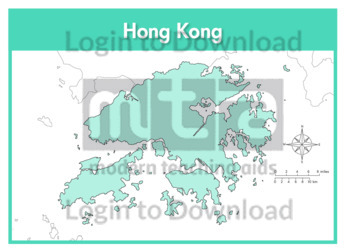
This full colour map of Hong Kong is a single full page map complete with compass and scale that can be reproduced for classroom use. It is left blank for students to identify and label key cities, geographical landmarks, surrounding seas and bordering countries.
This outline map of Hong Kong with labels is a single full page map complete with compass and scale that can be reproduced for classroom use. It features labelled key cities and surrounding seas.
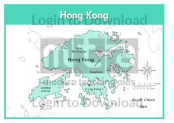
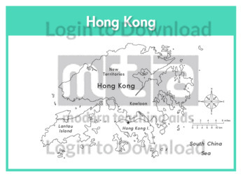
This full colour map of Hong Kong with labels is a single full page map complete with compass and scale that can be reproduced for classroom use. It features labelled key cities, surrounding seas and indicates bordering countries.
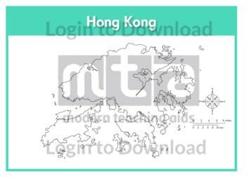
This outline map of Hong Kong is a single full page map complete with compass and scale that can be reproduced for classroom use. It is left blank for students to identify and label key cities and surrounding seas.
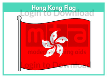
This flag worksheet features the Hong Kong flag in full colour followed by a black and white version for students to colour in the appropriate colours.

This full colour map of India is a single full page map complete with compass and scale that can be reproduced for classroom use. It is left blank for students to identify and label key cities, geographical landmarks, surrounding seas and oceans and bordering countries.
This outline map of India with labels is a single full page map complete with compass and scale that can be reproduced for classroom use. It features labelled key cities and surrounding seas and oceans.
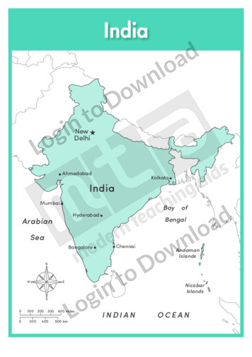
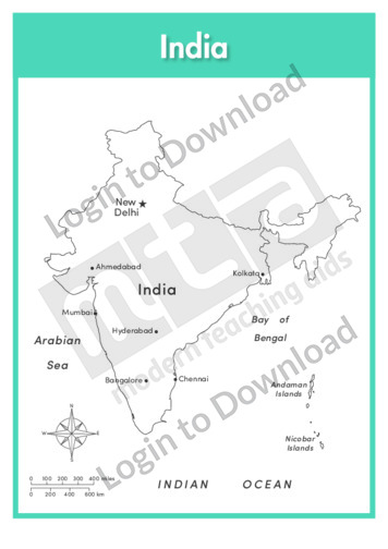
This full colour map of India with labels is a single full page map complete with compass and scale that can be reproduced for classroom use. It features labelled key cities, surrounding seas and oceans and indicates bordering countries.
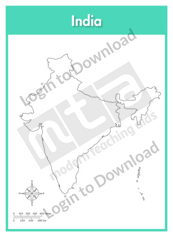
This outline map of India is a single full page map complete with compass and scale that can be reproduced for classroom use. It is left blank for students to identify and label key cities, geographical landmarks and surrounding seas and oceans.
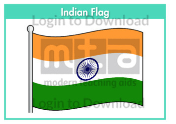
This flag worksheet features the Indian flag in full colour followed by a black and white version for students to colour in the appropriate colours.
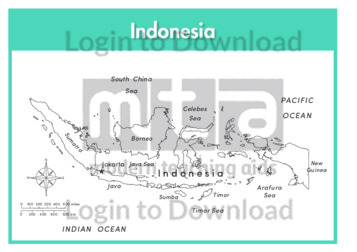
This full colour map of Indonesia is a single full page map complete with compass and scale that can be reproduced for classroom use. It is left blank for students to identify and label islands, key cities, geographical landmarks, surrounding seas and oceans and bordering countries.
This outline map of Indonesia with labels is a single full page map complete with compass and scale that can be reproduced for classroom use. It features labelled islands and surrounding seas.
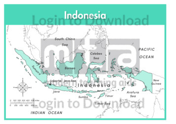
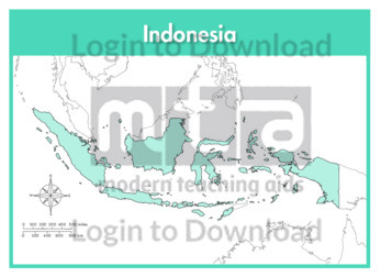
This full colour map of Indonesia with labels is a single full page map complete with compass and scale that can be reproduced for classroom use. It features labelled islands, surrounding seas and oceans and indicates bordering countries.
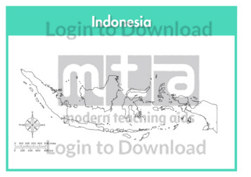
This outline map of Indonesia is a single full page map complete with compass and scale that can be reproduced for classroom use. It is left blank for students to identify and label islands, key cities, geographical landmarks and surrounding seas and oceans.
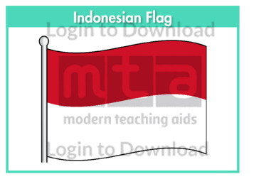
This flag worksheet features the Indonesian flag in full colour followed by a black and white version for students to colour in the appropriate colours.
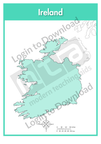
This full colour map of Ireland is a single full page map complete with compass and scale that can be reproduced for classroom use. It is left blank for students to identify and label key cities, geographical landmarks, surrounding seas and oceans and bordering countries.
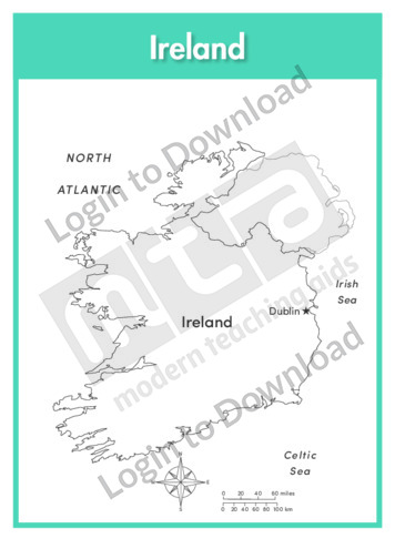
This outline map of Ireland with labels is a single full page map complete with compass and scale that can be reproduced for classroom use. It features the labelled capital city and surrounding seas and oceans.
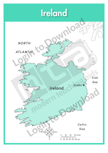
This full colour map of Ireland with labels is a single full page map complete with compass and scale that can be reproduced for classroom use. It features the labelled capital city, surrounding seas and oceans and indicates bordering countries.
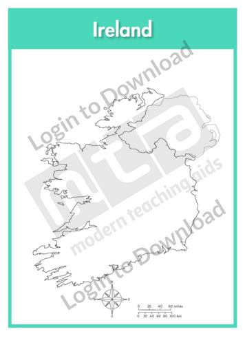
This outline map of Ireland is a single full page map complete with compass and scale that can be reproduced for classroom use. It is left blank for students to identify and label key cities, geographical landmarks and surrounding seas and oceans.
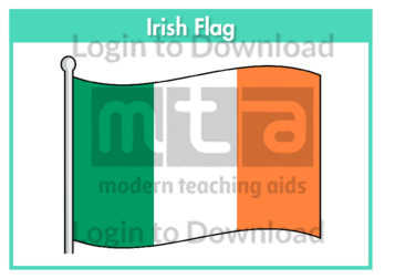
This flag worksheet features the Irish flag in full colour followed by a black and white version for students to colour in the appropriate colours.
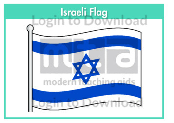
This flag worksheet features the Israeli flag in full colour followed by a black and white version for students to colour in the appropriate colours.
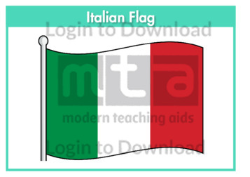
This flag worksheet features the Italian flag in full colour followed by a black and white version for students to colour in the appropriate colours.
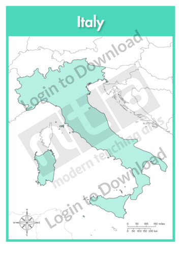
This full colour map of Italy is a single full page map complete with compass and scale that can be reproduced for classroom use. It is left blank for students to identify and label key cities, geographical landmarks, surrounding seas and bordering countries.
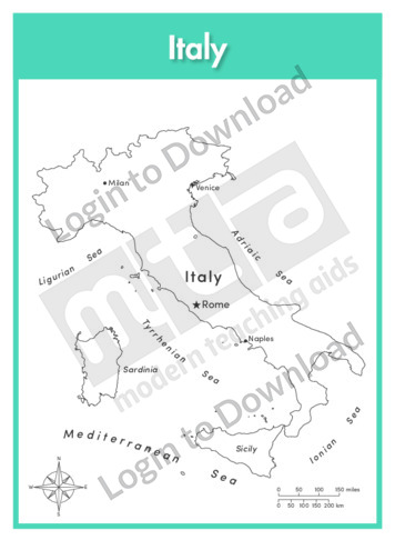
This outline map of Italy with labels is a single full page map complete with compass and scale that can be reproduced for classroom use. It features labelled key cities and surrounding seas.
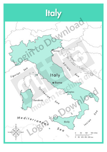
This full colour map of Italy with labels is a single full page map complete with compass and scale that can be reproduced for classroom use. It features labelled key cities, geographical landmarks, surrounding seas and indicates bordering countries.
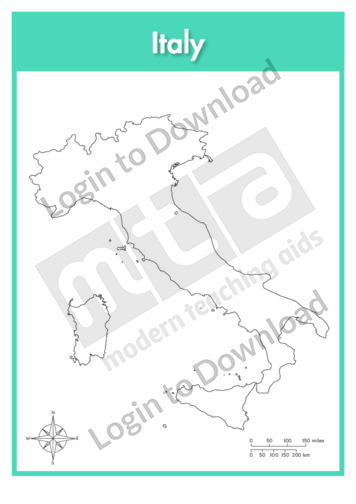
This outline map of Italy is a single full page map complete with compass and scale that can be reproduced for classroom use. It is left blank for students to identify and label key cities and surrounding seas.
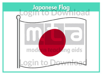
This flag worksheet features the Japanese flag in full colour followed by a black and white version for students to colour in the appropriate colours.
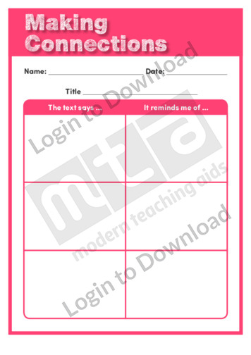
This graphic organiser, ‘Making Connections’ supports the teaching of comprehension and reading strategies by asking students to record their connections to texts as they read.
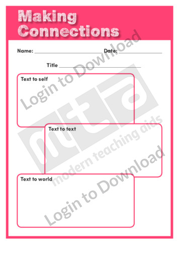
This graphic organiser, ‘Making Connections’ supports the teaching of comprehension and reading strategies by asking students to record their connections to texts as they read.
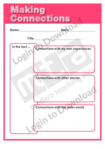
This graphic organiser, ‘Making Connections’ supports the teaching of comprehension and reading strategies by asking students to record their connections to texts as they read.
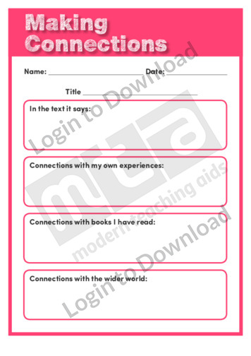
This graphic organiser, ‘Making Connections’ supports the teaching of comprehension and reading strategies by asking students to record their connections to texts as they read.
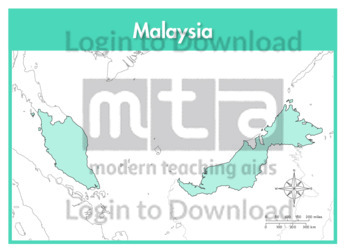
This full colour map of Malaysia is a single full page map complete with compass and scale that can be reproduced for classroom use. It is left blank for students to identify and label key cities, geographical landmarks, surrounding seas and bordering countries.
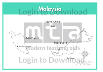
This outline map of Malaysia with labels is a single full page map complete with compass and scale that can be reproduced for classroom use. It features the labelled capital city and surrounding seas.
It�s that easy!