
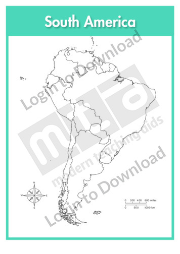
This continent outline map of South America is a single full page map complete with compass and scale that can be reproduced for classroom use. It is left blank for students to identify and label countries, key cities, bordering countries and surrounding seas and oceans.
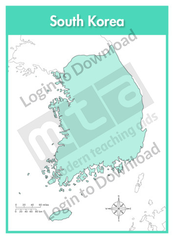
This full colour map of South Korea is a single full page map complete with compass and scale that can be reproduced for classroom use. It is left blank for students to identify and label key cities, geographical landmarks, surrounding seas and bordering countries.
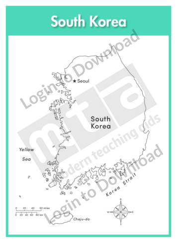
This outline map of South Korea with labels is a single full page map complete with compass and scale that can be reproduced for classroom use. It features the labelled capital city and surrounding seas.
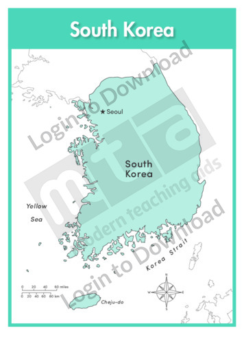
This full colour map of South Korea with labels is a single full page map complete with compass and scale that can be reproduced for classroom use. It features the labelled capital city, surrounding seas and indicates bordering countries.
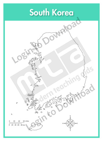
This outline map of South Korea is a single full page map complete with compass and scale that can be reproduced for classroom use. It is left blank for students to identify and label key cities, geographical landmarks and surrounding seas.
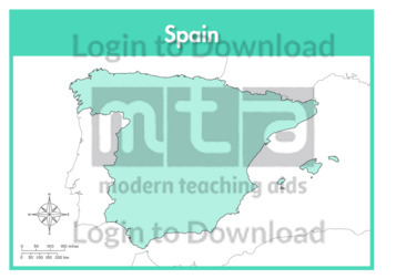
This full colour map of Spain is a single full page map complete with compass and scale that can be reproduced for classroom use. It is left blank for students to identify and label key cities, geographical landmarks, surrounding seas and oceans and bordering countries.
This outline map of Spain with labels is a single full page map complete with compass and scale that can be reproduced for classroom use. It features labelled key cities and surrounding seas and oceans.
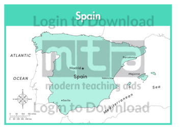
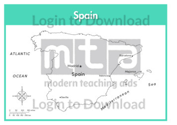
This full colour map of Spain with labels is a single full page map complete with compass and scale that can be reproduced for classroom use. It features labelled key cities, surrounding seas and oceans and indicates bordering countries.
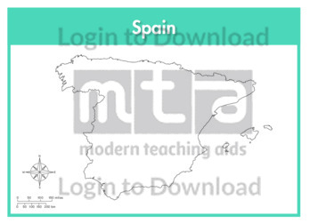
This outline map of Spain is a single full page map complete with compass and scale that can be reproduced for classroom use. It is left blank for students to identify and label key cities and surrounding seas and oceans.
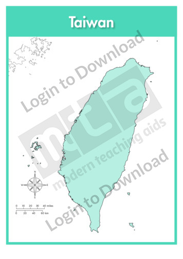
This full colour map of Taiwan is a single full page map complete with compass and scale that can be reproduced for classroom use. It is left blank for students to identify and label key cities, geographical landmarks and surrounding seas and oceans.
This outline map of Taiwan with labels is a single full page map complete with compass and scale that can be reproduced for classroom use. It features the labelled capital city and surrounding seas and oceans.
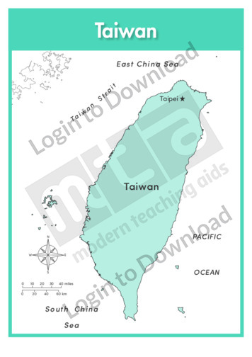
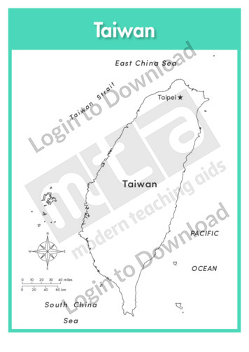
This full colour map of Taiwan with labels is a single full page map complete with compass and scale that can be reproduced for classroom use. It features the labelled capital city and surrounding seas and oceans.
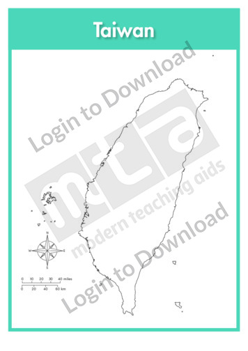
This outline map of Taiwan is a single full page map complete with compass and scale that can be reproduced for classroom use. It is left blank for students to identify and label key cities, geographical landmarks and surrounding seas and oceans.
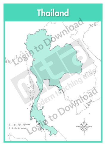
This full colour map of Thailand is a single full page map complete with compass and scale that can be reproduced for classroom use. It is left blank for students to identify and label key cities, geographical landmarks, surrounding seas and bordering countries.
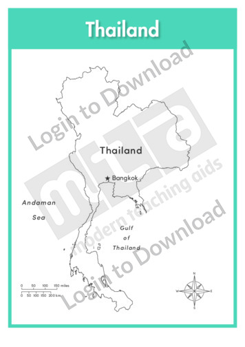
This outline map of Thailand with labels is a single full page map complete with compass and scale that can be reproduced for classroom use. It features the labelled capital city and surrounding seas.
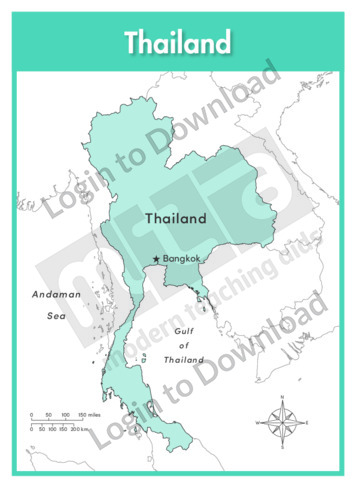
This full colour map of Thailand with labels is a single full page map complete with compass and scale that can be reproduced for classroom use. It features the labelled capital city and surrounding seas and indicates bordering countries.
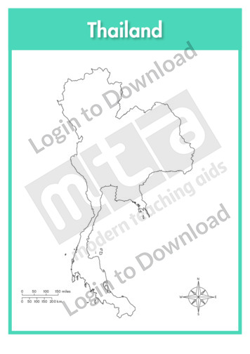
This outline map of Thailand is a single full page map complete with compass and scale that can be reproduced for classroom use. It is left blank for students to identify and label key cities, geographical landmarks and surrounding seas.
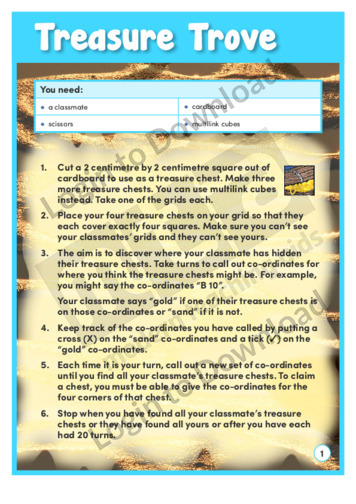
The learning activity, ‘Treasure Trove’ is a variation on the old game of Battleships. Two students have a grid each on which they place ‘treasure chests’. They then use ordered pairs of coordinates to find each other’s treasure. The first person to find all the treasure wins the game. An answer sheet contains teaching notes …More
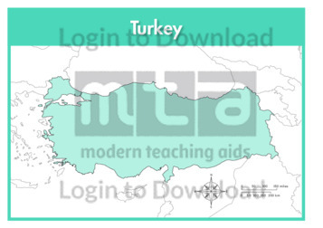
This full colour map of Turkey is a single full page map complete with compass and scale that can be reproduced for classroom use. It is left blank for students to identify and label key cities, geographical landmarks, surrounding seas and bordering countries.
This outline map of Turkey with labels is a single full page map complete with compass and scale that can be reproduced for classroom use. It features labelled key cities and surrounding seas.
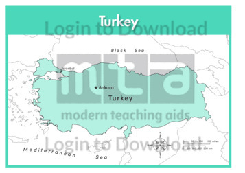
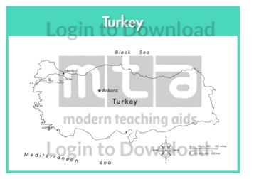
This full colour map of Turkey with labels is a single full page map complete with compass and scale that can be reproduced for classroom use. It features labelled key cities, surrounding seas and indicates bordering countries.
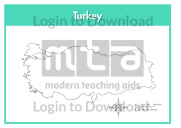
This outline map of Turkey is a single full page map complete with compass and scale that can be reproduced for classroom use. It is left blank for students to identify and label key cities, geographical landmarks and surrounding seas.
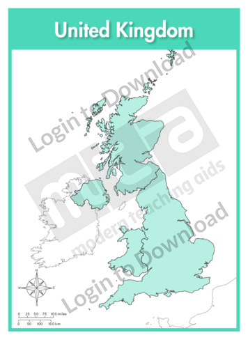
This full colour map of the United Kingdom is a single full page map complete with compass and scale that can be reproduced for classroom use. It is left blank for students to identify and label countries, key cities, geographical landmarks, surrounding seas and oceans and bordering countries. It also includes a compass and scale.
This outline map of the United Kingdom with labels is a single full page map complete with compass and scale that can be reproduced for classroom use. It features labelled countries, key cities islands, surrounding seas and oceans.

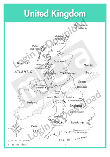
This full colour map of the United Kingdom with labels is a single full page map complete with compass and scale that can be reproduced for classroom use. It features labelled countries, key cities islands, surrounding seas and oceans and indicates bordering countries. It also includes a compass and scale.
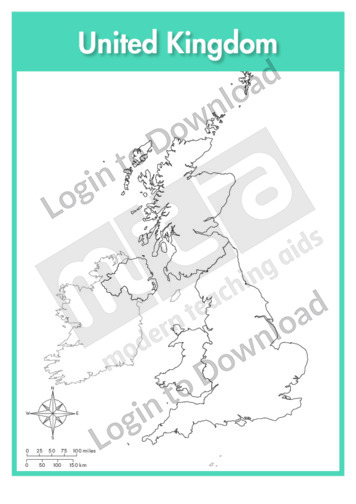
This outline map of the United Kingdom is a single full page map complete with compass and scale that can be reproduced for classroom use. It is left blank for students to identify and label countries, key cities, geographical landmarks islands, surrounding seas and oceans.
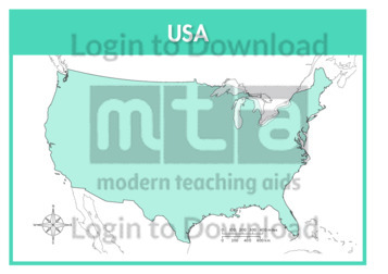
This full colour map of the USA is a 2-page map complete with compass and scale that can be reproduced for classroom use. It is left blank for students to identify and label key cities, geographical landmarks, surrounding seas and oceans and bordering countries. It features a full page map complete with compass and scale …More
This outline map of the USA with labels is a 2-page map complete with compass and scale that can be reproduced for classroom use. It features labelled states, key cities and surrounding seas and oceans. It includes a full page map complete with compass and scale of the contiguous USA and another page of the …More
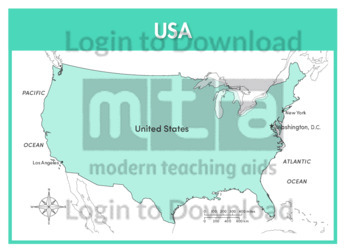
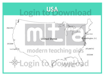
This full colour map of the USA with labels is a 2-page map complete with compass and scale that can be reproduced for classroom use. It features labelled key cities, geographical landmarks, surrounding seas and oceans and indicates bordering countries. It includes a full page map complete with compass and scale of the contiguous USA …More
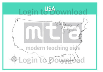
This outline map of the USA is a 2-page map complete with compass and scale that can be reproduced for classroom use. It is left blank for students to identify and label states, key cities, geographical landmarks and surrounding seas and oceans. It features a full page map complete with compass and scale of the …More
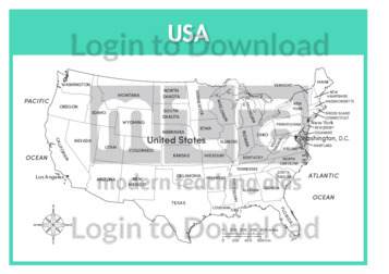
This outline map of the USA with state labels is a 2-page map complete with compass and scale that can be reproduced for classroom use. It features labelled states, key cities and surrounding seas and oceans. It includes a full page map complete with compass and scale of the contiguous USA and another page of …More
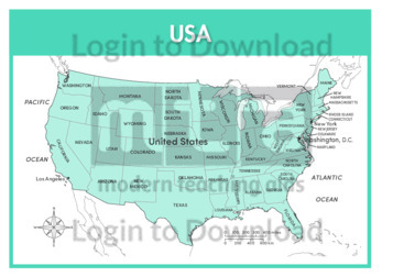
This full colour map of the USA with state labels is a 2-page map complete with compass and scale that can be reproduced for classroom use. It features labelled states, key cities, surrounding seas and oceans and indicates bordering countries. It includes a full page map complete with compass and scale of the contiguous USA …More
This full colour map of Venezuela is a single full page map complete with compass and scale that can be reproduced for classroom use. It is left blank for students to identify and label key cities, geographical landmarks, surrounding seas and oceans and bordering countries.
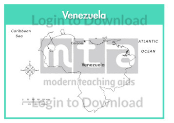
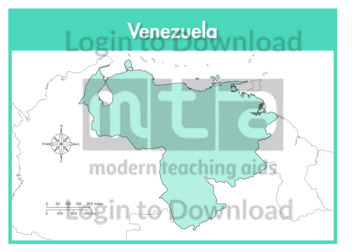
This outline map of Venezuela with labels is a single full page map complete with compass and scale that can be reproduced for classroom use. It features labelled key cities and surrounding seas and oceans.
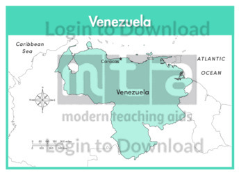
This full colour map of Venezuela with labels is a single full page map complete with compass and scale that can be reproduced for classroom use. It features the labelled capital city, surrounding seas and oceans and indicates bordering countries.
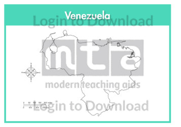
This outline map of Venezuela is a single full page map complete with compass and scale that can be reproduced for classroom use. It is left blank for students to identify and label key cities, geographical landmarks and surrounding seas and oceans.

This full colour map of Wales is a single full page map complete with compass and scale that can be reproduced for classroom use. It is left blank for students to identify and label key cities, geographical landmarks, surrounding seas and bordering countries.
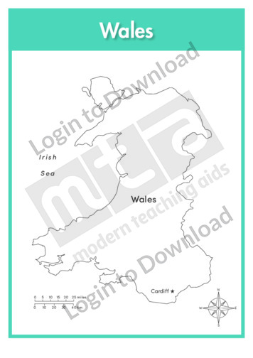
This outline map of Wales with labels is a single full page map complete with compass and scale that can be reproduced for classroom use. It features labelled capital city and surrounding seas.
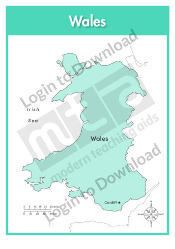
This full colour map of Wales with labels is a single full page map complete with compass and scale that can be reproduced for classroom use. It features the labelled capital city, surrounding seas and indicates bordering countries.
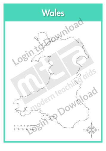
This outline map of Wales is a single full page map complete with compass and scale that can be reproduced for classroom use. It is left blank for students to identify and label key cities and surrounding seas.
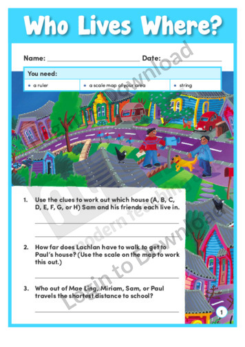
In the engaging learning activity and learning activity, ‘Who Lives Where?’, students use a scale map and clues to work out where some children live. They then need to find a scale map of their own area to pose and answer similar questions. An answer sheet is provided and includes teaching notes with suggestions for …More
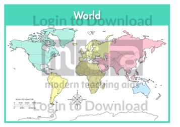
This full colour World map is a single full page map complete with compass and scale that can be reproduced for classroom use. It is colour coded by continent and left blank for students to identify and label countries, cities, geographical landmarks and seas and oceans. It also includes a compass and scale.
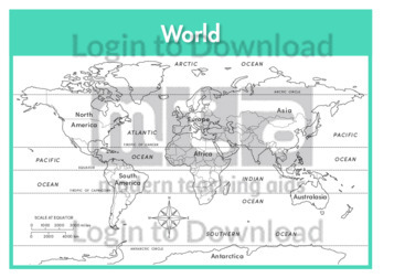
This outline World map with labels is a single full page map complete with compass and scale that can be reproduced for classroom use. It features labelled continents and their surrounding seas and oceans.
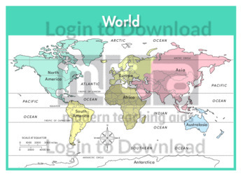
This full colour World map with labels is a single full page map complete with compass and scale that can be reproduced for classroom use. It features labelled continents and their surrounding seas and oceans.
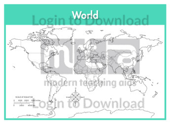
This outline World map is a single full page map complete with compass and scale that can be reproduced for classroom use. It is left blank for students to identify and label continents and their surrounding seas and oceans.
It�s that easy!