
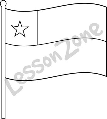
This black and white outline illustration, “Chile, flag B&W” is available in PNG format at 300 DPI resolution with a transparent background for classroom use. This illustration is also available in colour. Lesson Zone has over 4, 000 pieces of clip art, searchable by learning area and theme. The clip art is fast and easy …More
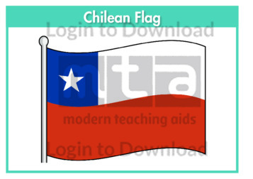
This flag worksheet features the Chilean flag in full colour followed by a black and white version for students to colour in the appropriate colours.
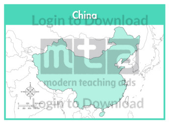
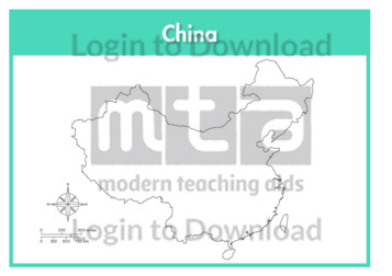
This full colour map of China is a single full page map complete with compass and scale that can be reproduced for classroom use. It is left blank for students to identify and label key cities, geographical landmarks, surrounding seas and bordering countries.
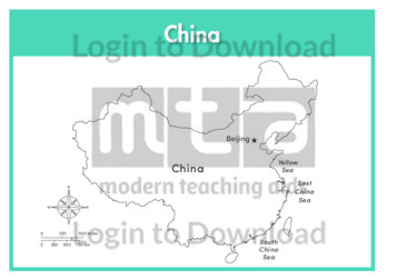
This outline map of China with labels is a single full page map complete with compass and scale that can be reproduced for classroom use. It features labelled key cities and surrounding seas.
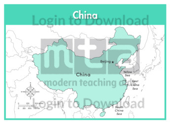
This full colour map of China with labels is a single full page map complete with compass and scale that can be reproduced for classroom use. It features the labelled capital city, surrounding seas and indicates bordering countries.
This outline map of China with provinces is a single full page map complete with compass and scale that can be reproduced for classroom use. It features province borders for students to identify and label along with key cities, geographical landmarks and surrounding seas.
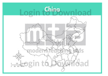
This outline map of China is a single full page map complete with compass and scale that can be reproduced for classroom use. It is left blank for students to identify and label key cities, geographical landmarks and surrounding seas.
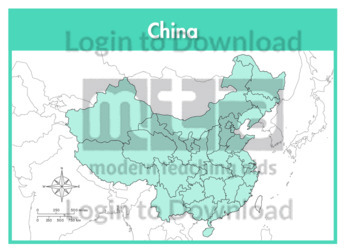
This full colour map of China with provinces is a single full page map complete with compass and scale that can be reproduced for classroom use. It features province borders for students to identify and label along with key cities, geographical landmarks and surrounding seas.
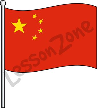
This illustration, “China, flag” is available in PNG format at 300 DPI resolution with a transparent background for classroom use. This illustration is also available in black and white. Lesson Zone has over 4, 000 pieces of clip art, searchable by learning area and theme. The clip art is fast and easy to download, and …More
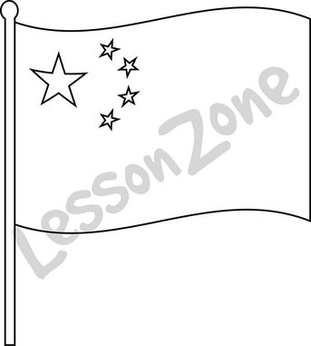
This black and white outline illustration, “China, flag B&W” is available in PNG format at 300 DPI resolution with a transparent background for classroom use. This illustration is also available in colour. Lesson Zone has over 4, 000 pieces of clip art, searchable by learning area and theme. The clip art is fast and easy …More
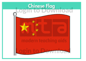
This flag worksheet features the Chinese flag in full colour followed by a black and white version for students to colour in the appropriate colours.
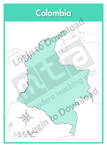
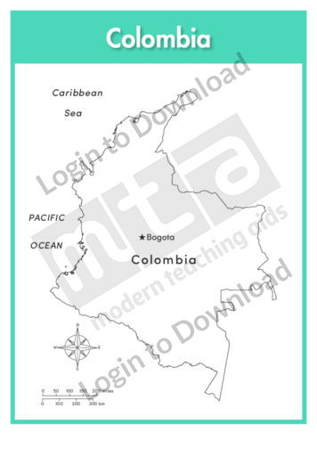
This full colour map of Columbia is a single full page map complete with compass and scale that can be reproduced for classroom use. It is left blank for students to identify and label key cities, geographical landmarks, surrounding seas and oceans and bordering countries.
This outline map of Columbia with labels is a single full page map complete with compass and scale that can be reproduced for classroom use. It features the labelled capital city and surrounding seas and oceans.
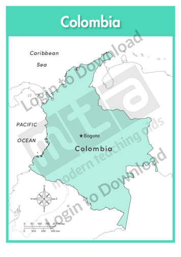
This full colour map of Columbia with labels is a single full page map complete with compass and scale that can be reproduced for classroom use. It features the labelled capital city, surrounding seas and oceans and indicates bordering countries.
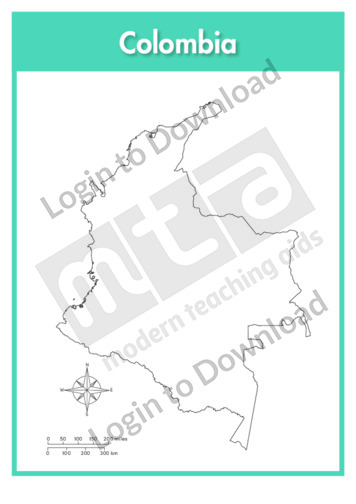
This outline map of Columbia is a single full page map complete with compass and scale that can be reproduced for classroom use. It is left blank for students to identify and label key cities and surrounding seas and oceans.
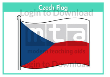
This flag worksheet features the Czech flag in full colour followed by a black and white version for students to colour in the appropriate colours.
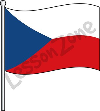
This illustration, “Czech Republic, flag” is available in PNG format at 300 DPI resolution with a transparent background for classroom use. This illustration is also available in black and white. Lesson Zone has over 4, 000 pieces of clip art, searchable by learning area and theme. The clip art is fast and easy to download, …More
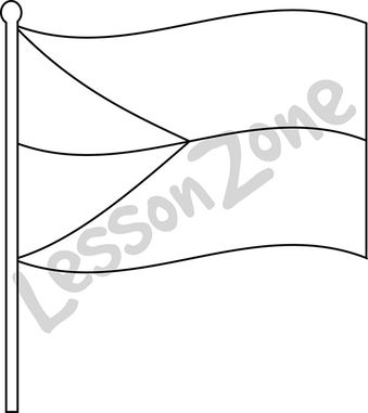
This black and white outline illustration, “Czech Republic, flag B&W” is available in PNG format at 300 DPI resolution with a transparent background for classroom use. This illustration is also available in colour. Lesson Zone has over 4, 000 pieces of clip art, searchable by learning area and theme. The clip art is fast and …More

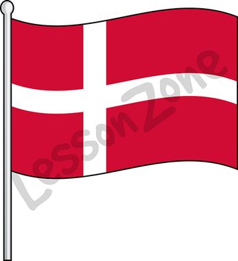
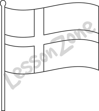
This flag worksheet features the Danish flag in full colour followed by a black and white version for students to colour in the appropriate colours.
This illustration, “Denmark, flag” is available in PNG format at 300 DPI resolution with a transparent background for classroom use. This illustration is also available in black and white. Lesson Zone has over 4, 000 pieces of clip art, searchable by learning area and theme. The clip art is fast and easy to download, and …More
This black and white outline illustration, “Denmark, flag B&W” is available in PNG format at 300 DPI resolution with a transparent background for classroom use. This illustration is also available in colour. Lesson Zone has over 4, 000 pieces of clip art, searchable by learning area and theme. The clip art is fast and easy …More
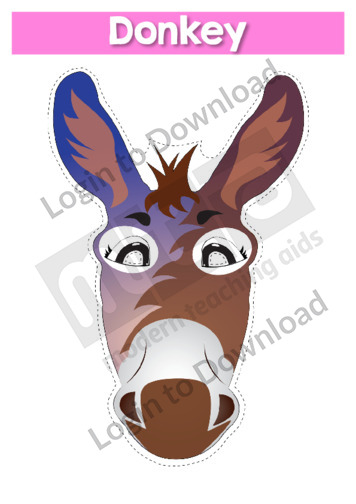
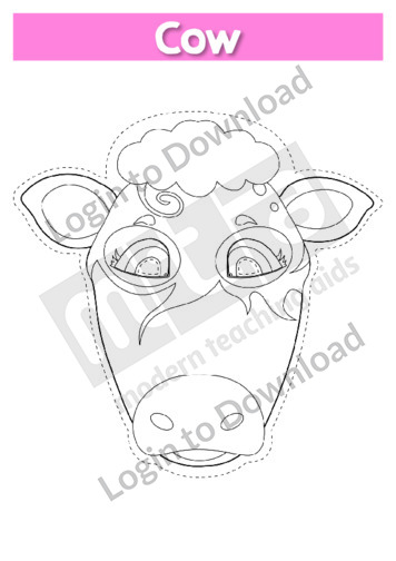
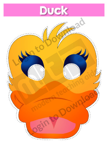
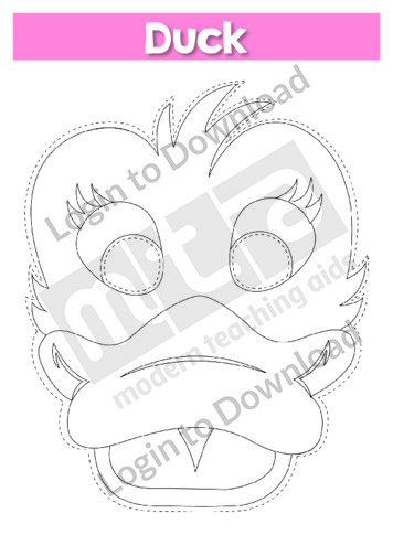
This role-play mask ‘Donkey’ is a resource that can be used in a variety of classroom activities. It is a hands-on tool that provides a stimulus to prompt vocabulary and concept development. Use it during class discussions to fuel engagement, or have students use their imaginations to incorporate the mask into other speaking activities. It …More
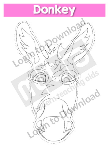
This role-play mask ‘Donkey B&W’ is a resource that can be used in a variety of classroom activities. It is a hands-on tool that provides a stimulus to prompt vocabulary and concept development. Use it during class discussions to fuel engagement, or have students use their imaginations to incorporate the mask into other speaking activities. …More
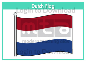
This flag worksheet features the Dutch flag in full colour followed by a black and white version for students to colour in the appropriate colours.
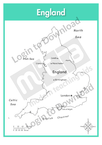
This full colour map of England is a single full page map complete with compass and scale that can be reproduced for classroom use. It is left blank for students to identify and label key cities, geographical landmarks, surrounding seas and bordering countries.
This outline map of England with labels is a single full page map complete with compass and scale that can be reproduced for classroom use. It features labelled key cities and surrounding seas.
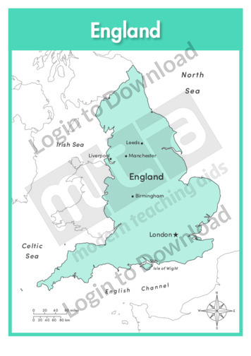
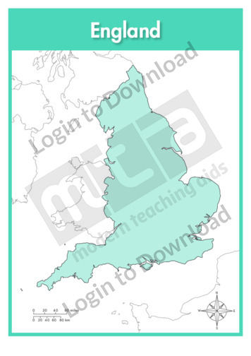
This full colour map of England with labels is a single full page map complete with compass and scale that can be reproduced for classroom use. It features labelled key cities, surrounding seas and indicates bordering countries.
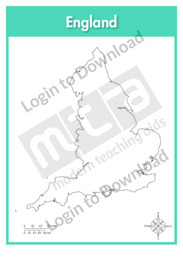
This outline map of England is a single full page map complete with compass and scale that can be reproduced for classroom use. It is left blank for students to identify and label key cities, geographical landmarks and surrounding seas.
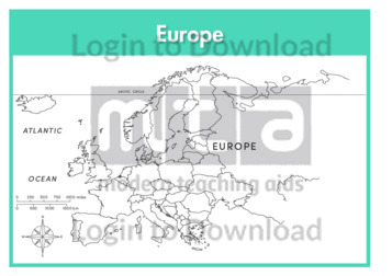
This continent map of Europe is a single full page map complete with compass and scale that can be reproduced for classroom use. It is left blank for students to identify and label countries, key cities, bordering countries and surrounding seas and oceans.
This continent outline map of Europe with labels is a single full page map complete with compass and scale that can be reproduced for classroom use. It features labelled surrounding seas and oceans.

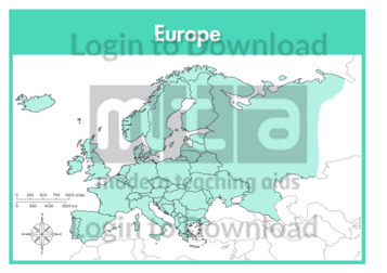
This continent map of Europe with labels is a single full page map complete with compass and scale that can be reproduced for classroom use. It features labelled surrounding seas and oceans.
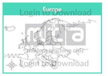
This continent outline map of Europe is a single full page map complete with compass and scale that can be reproduced for classroom use. It is left blank for students to identify and label countries, key cities, bordering countries and surrounding seas and oceans.
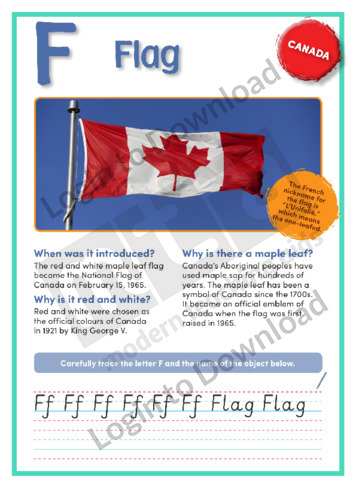
This geography article, ‘Flag’, features factual information about the Canadian flag and its history. It is aimed at broadening students’ cultural, geographical and historical awareness in an engaging manner.
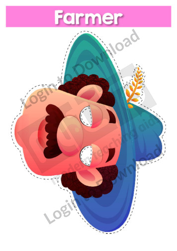
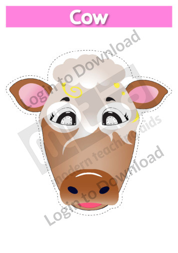
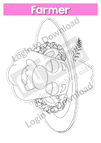
This role-play mask ‘Farmer’ is a resource that can be used in a variety of classroom activities. It is a hands-on tool that provides a stimulus to prompt vocabulary and concept development. Use it during class discussions to fuel engagement, or have students use their imaginations to incorporate the mask into other speaking activities. It …More
This role-play mask ‘Farmer B&W’ is a resource that can be used in a variety of classroom activities. It is a hands-on tool that provides a stimulus to prompt vocabulary and concept development. Use it during class discussions to fuel engagement, or have students use their imaginations to incorporate the mask into other speaking activities. …More
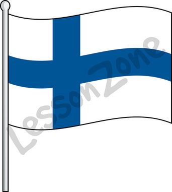
This illustration, “Finland, flag” is available in PNG format at 300 DPI resolution with a transparent background for classroom use. This illustration is also available in black and white. Lesson Zone has over 4, 000 pieces of clip art, searchable by learning area and theme. The clip art is fast and easy to download, and …More
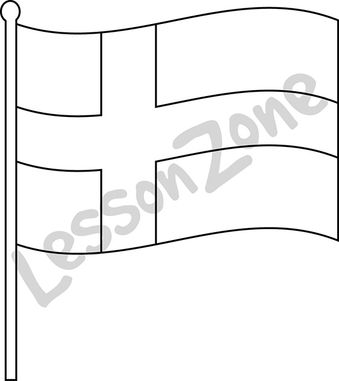
This black and white outline illustration, “Finland, flag B&W” is available in PNG format at 300 DPI resolution with a transparent background for classroom use. This illustration is also available in colour. Lesson Zone has over 4, 000 pieces of clip art, searchable by learning area and theme. The clip art is fast and easy …More
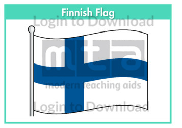
This flag worksheet features the Finnish flag in full colour followed by a black and white version for students to colour in the appropriate colours.
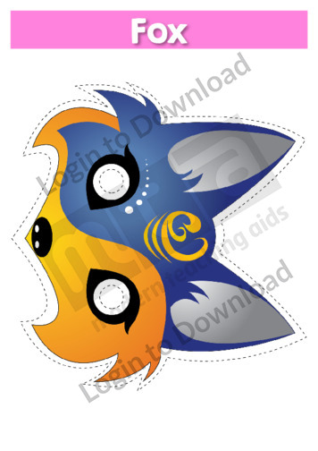
This role-play mask ‘Fox’ is a resource that can be used in a variety of classroom activities. It is a hands-on tool that provides a stimulus to prompt vocabulary and concept development. Use it during class discussions to fuel engagement, or have students use their imaginations to incorporate the mask into other speaking activities. It …More
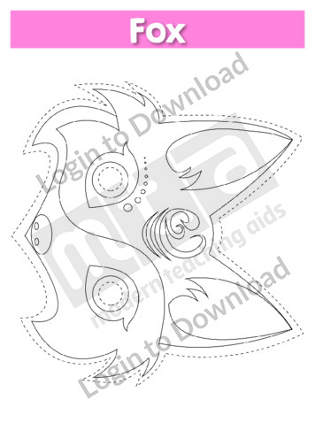
This role-play mask ‘Fox B&W’ is a resource that can be used in a variety of classroom activities. It is a hands-on tool that provides a stimulus to prompt vocabulary and concept development. Use it during class discussions to fuel engagement, or have students use their imaginations to incorporate the mask into other speaking activities. …More
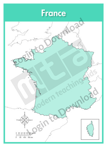
This full colour map of France is a single full page map complete with compass and scale that can be reproduced for classroom use. It is left blank for students to identify and label key cities, geographical landmarks, surrounding seas and bordering countries. It also includes an inset of the French territory Corsica and a …More
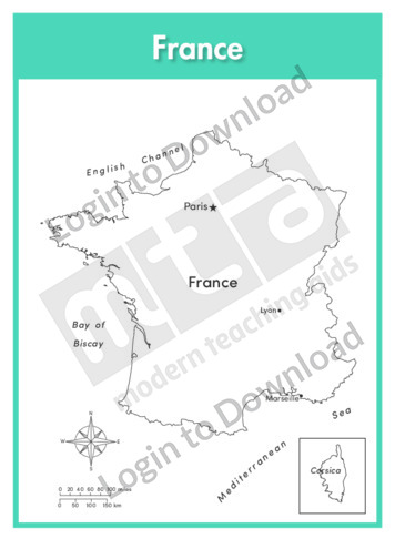
This outline map of France with labels is a single full page map complete with compass and scale that can be reproduced for classroom use. It features labelled key cities and surrounding seas. It also includes an inset of the French territory Corsica and a compass and scale.
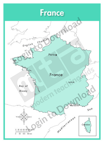
This full colour map of France with labels is a single full page map complete with compass and scale that can be reproduced for classroom use. It features labelled key cities, surrounding seas and indicates bordering countries. It also includes an inset of the French territory Corsica and a compass and scale.
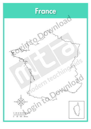
This outline map of France is a single full page map complete with compass and scale that can be reproduced for classroom use. It is left blank for students to identify and label key cities, geographical landmarks and surrounding seas. It also includes an inset of the French territory Corsica and a compass and scale.
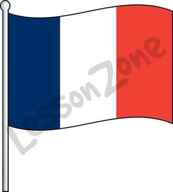
This illustration, “France, flag” is available in PNG format at 300 DPI resolution with a transparent background for classroom use. This illustration is also available in black and white. Lesson Zone has over 4, 000 pieces of clip art, searchable by learning area and theme. The clip art is fast and easy to download, and …More
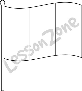
This black and white outline illustration, “France, flag B&W” is available in PNG format at 300 DPI resolution with a transparent background for classroom use. This illustration is also available in colour. Lesson Zone has over 4, 000 pieces of clip art, searchable by learning area and theme. The clip art is fast and easy …More
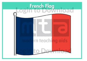
This flag worksheet features the French flag in full colour followed by a black and white version for students to colour in the appropriate colours.
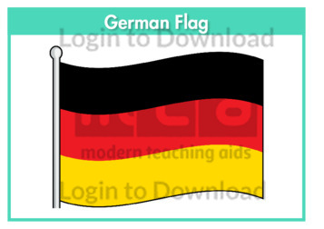
This flag worksheet features the German flag in full colour followed by a black and white version for students to colour in the appropriate colours.
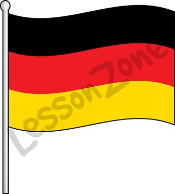
This illustration, “Germany, flag” is available in PNG format at 300 DPI resolution with a transparent background for classroom use. This illustration is also available in black and white. Lesson Zone has over 4, 000 pieces of clip art, searchable by learning area and theme. The clip art is fast and easy to download, and …More
This black and white outline illustration, “Germany, flag B&W” is available in PNG format at 300 DPI resolution with a transparent background for classroom use. This illustration is also available in colour. Lesson Zone has over 4, 000 pieces of clip art, searchable by learning area and theme. The clip art is fast and easy …More
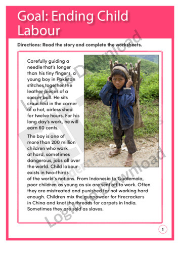
This reading comprehension activity ‘Goal: Ending Child Labour’, asks students to answer comprehension questions on a text about ending child labour.
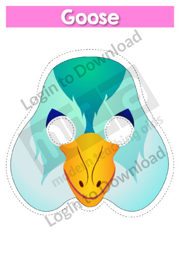
This role-play mask ‘Goose’ is a resource that can be used in a variety of classroom activities. It is a hands-on tool that provides a stimulus to prompt vocabulary and concept development. Use it during class discussions to fuel engagement, or have students use their imaginations to incorporate the mask into other speaking activities. It …More
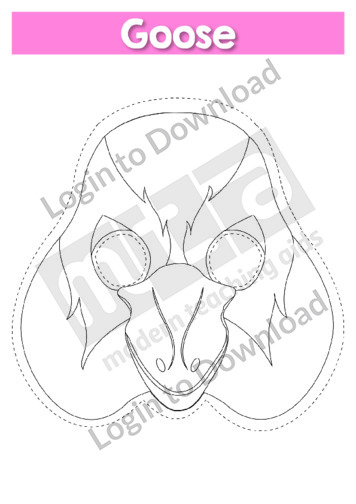
This role-play mask ‘Goose B&W’ is a resource that can be used in a variety of classroom activities. It is a hands-on tool that provides a stimulus to prompt vocabulary and concept development. Use it during class discussions to fuel engagement, or have students use their imaginations to incorporate the mask into other speaking activities. …More
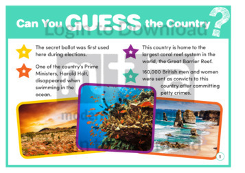
This collection of ‘Guess Who’ cards are an interesting and fun way to incorporate learning about the countries of the Commonwealth. Each resource in the series includes a set of clues and photographs to help students guess the country. These clues are a combination of facts and interesting trivia that will broaden students’ knowledge and …More
It�s that easy!