
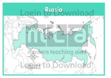
This full colour map of Russia is a single full page map complete with compass and scale that can be reproduced for classroom use. It is left blank for students to identify and label key cities, geographical landmarks, surrounding seas and oceans and bordering countries.
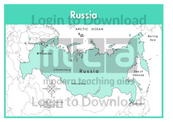
This outline map of Russia with labels is a single full page map complete with compass and scale that can be reproduced for classroom use. It features labelled key cities and surrounding seas and oceans.
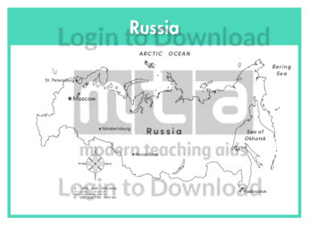
This full colour map of Russia with labels is a single full page map complete with compass and scale that can be reproduced for classroom use. It features labelled key cities, surrounding seas and oceans and indicates bordering countries.
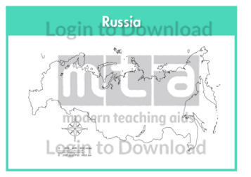
This outline map of Russia is a single full page map complete with compass and scale that can be reproduced for classroom use. It is left blank for students to identify and label key cities, geographical landmarks and surrounding seas and oceans.
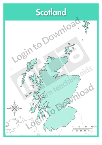
This full colour map of Scotland is a single full page map complete with compass and scale that can be reproduced for classroom use. It is left blank for students to identify and label key cities, geographical landmarks islands, surrounding seas and oceans and bordering countries. It also includes a compass and scale.
This outline map of Scotland with labels is a single full page map complete with compass and scale that can be reproduced for classroom use. It features labelled key cities and surrounding seas.
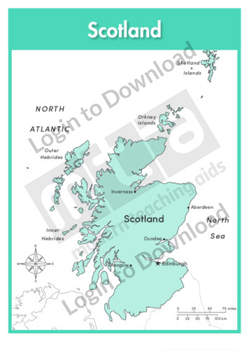
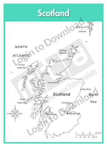
This full colour map of Scotland with labels is a single full page map complete with compass and scale that can be reproduced for classroom use. It features labelled key cities islands, surrounding seas and oceans and indicates bordering countries. It also includes a compass and scale.
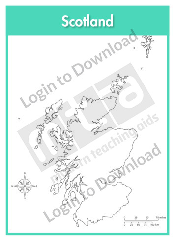
This outline map of Scotland is a single full page map complete with compass and scale that can be reproduced for classroom use. It is left blank for students to identify and label key cities, geographical landmarks islands, surrounding seas and oceans.

This reading comprehension activity, ‘See Africa by Bike’, is available at two different reading levels to allow for differentiated instruction. It asks students to answer comprehension questions on a text about a bike trip across East Africa.
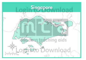
This full colour map of Singapore is a single full page map complete with compass and scale that can be reproduced for classroom use. It is left blank for students to identify and label key cities, geographical landmarks, surrounding seas and bordering countries.
This outline map of Singapore with labels is a single full page map complete with compass and scale that can be reproduced for classroom use. It features the labelled capital city and surrounding seas.
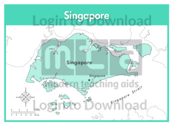
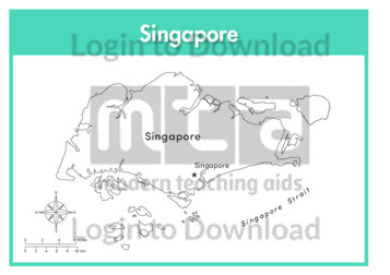
This full colour map of Singapore with labels is a single full page map complete with compass and scale that can be reproduced for classroom use. It features the labelled capital city, surrounding seas and indicates bordering countries.
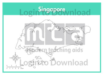
This outline map of Singapore is a single full page map complete with compass and scale that can be reproduced for classroom use. It is left blank for students to identify and label key cities and surrounding seas.
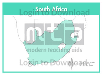
This full colour map of South Africa is a single full page map complete with compass and scale that can be reproduced for classroom use. It is left blank for students to identify and label key cities, geographical landmarks, surrounding seas and oceans and bordering countries.
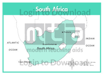
This outline map of South Africa with labels is a single full page map complete with compass and scale that can be reproduced for classroom use. It features labelled key cities and surrounding seas and oceans.
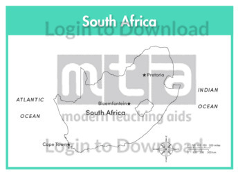
This full colour map of South Africa with labels is a single full page map complete with compass and scale that can be reproduced for classroom use. It features labelled key cities, surrounding seas and oceans and indicates bordering countries.
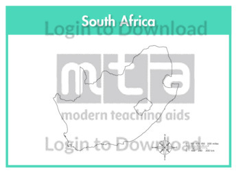
This outline map of South Africa is a single full page map complete with compass and scale that can be reproduced for classroom use. It is left blank for students to identify and label key cities, geographical landmarks and surrounding seas and oceans.
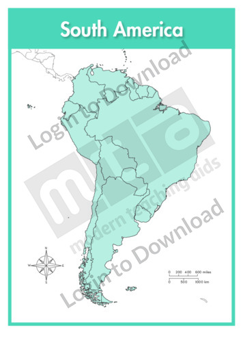
This continent map of South America is a single full page map complete with compass and scale that can be reproduced for classroom use. It is left blank for students to identify and label countries, key cities, bordering countries and surrounding seas and oceans.
This continent outline map of South America with labels is a single full page map complete with compass and scale that can be reproduced for classroom use. It features labelled surrounding seas and oceans.
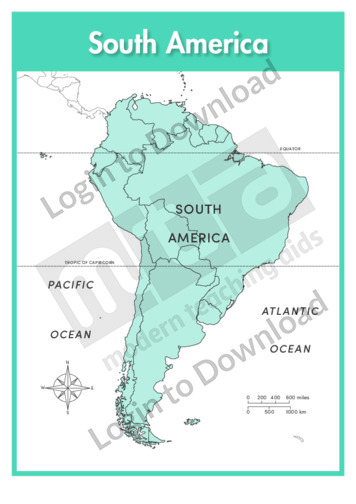
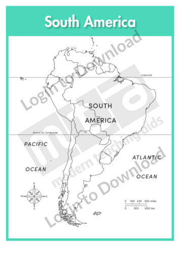
This continent map of South America with labels is a single full page map complete with compass and scale that can be reproduced for classroom use. It features labelled surrounding seas and oceans.
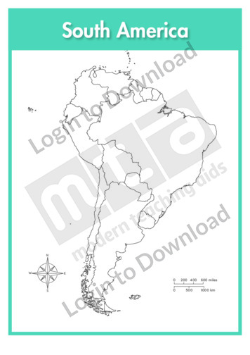
This continent outline map of South America is a single full page map complete with compass and scale that can be reproduced for classroom use. It is left blank for students to identify and label countries, key cities, bordering countries and surrounding seas and oceans.
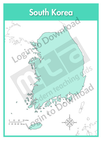
This full colour map of South Korea is a single full page map complete with compass and scale that can be reproduced for classroom use. It is left blank for students to identify and label key cities, geographical landmarks, surrounding seas and bordering countries.
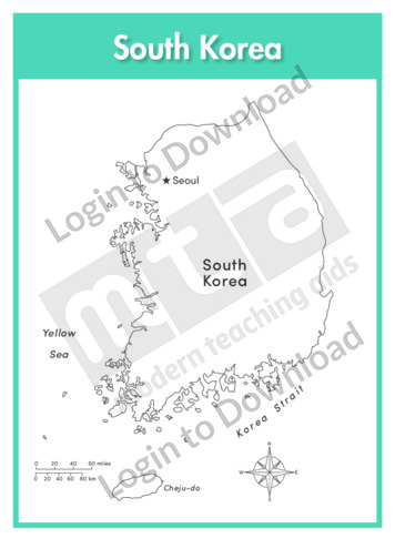
This outline map of South Korea with labels is a single full page map complete with compass and scale that can be reproduced for classroom use. It features the labelled capital city and surrounding seas.
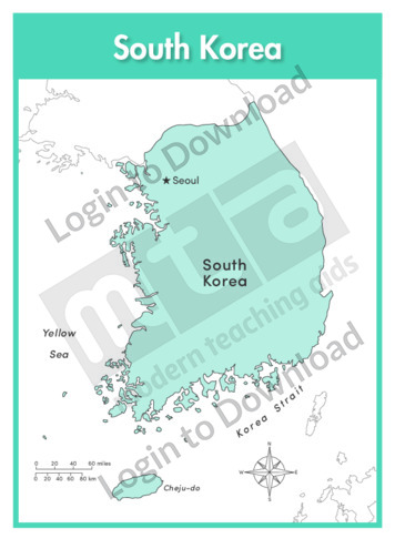
This full colour map of South Korea with labels is a single full page map complete with compass and scale that can be reproduced for classroom use. It features the labelled capital city, surrounding seas and indicates bordering countries.
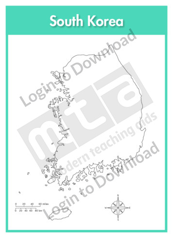
This outline map of South Korea is a single full page map complete with compass and scale that can be reproduced for classroom use. It is left blank for students to identify and label key cities, geographical landmarks and surrounding seas.
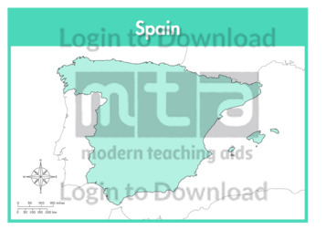
This full colour map of Spain is a single full page map complete with compass and scale that can be reproduced for classroom use. It is left blank for students to identify and label key cities, geographical landmarks, surrounding seas and oceans and bordering countries.
This outline map of Spain with labels is a single full page map complete with compass and scale that can be reproduced for classroom use. It features labelled key cities and surrounding seas and oceans.
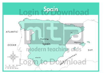
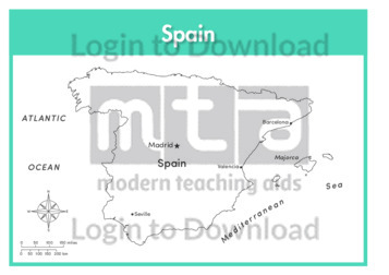
This full colour map of Spain with labels is a single full page map complete with compass and scale that can be reproduced for classroom use. It features labelled key cities, surrounding seas and oceans and indicates bordering countries.
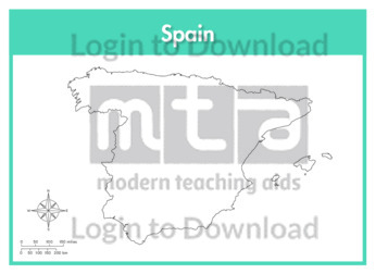
This outline map of Spain is a single full page map complete with compass and scale that can be reproduced for classroom use. It is left blank for students to identify and label key cities and surrounding seas and oceans.
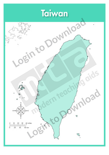
This full colour map of Taiwan is a single full page map complete with compass and scale that can be reproduced for classroom use. It is left blank for students to identify and label key cities, geographical landmarks and surrounding seas and oceans.
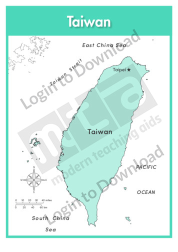
This outline map of Taiwan with labels is a single full page map complete with compass and scale that can be reproduced for classroom use. It features the labelled capital city and surrounding seas and oceans.
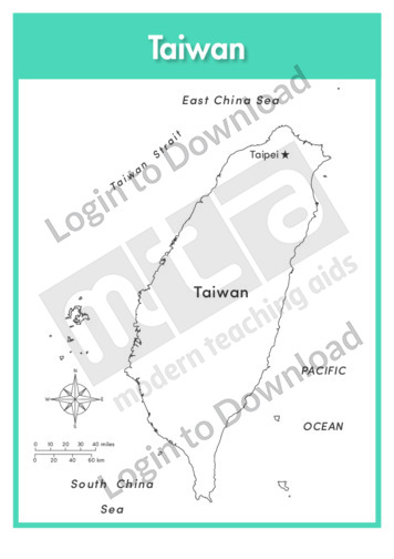
This full colour map of Taiwan with labels is a single full page map complete with compass and scale that can be reproduced for classroom use. It features the labelled capital city and surrounding seas and oceans.
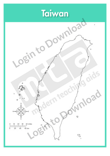
This outline map of Taiwan is a single full page map complete with compass and scale that can be reproduced for classroom use. It is left blank for students to identify and label key cities, geographical landmarks and surrounding seas and oceans.
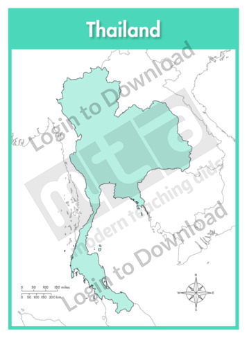
This full colour map of Thailand is a single full page map complete with compass and scale that can be reproduced for classroom use. It is left blank for students to identify and label key cities, geographical landmarks, surrounding seas and bordering countries.
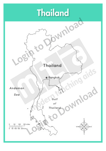
This outline map of Thailand with labels is a single full page map complete with compass and scale that can be reproduced for classroom use. It features the labelled capital city and surrounding seas.
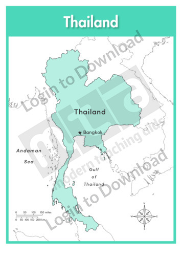
This full colour map of Thailand with labels is a single full page map complete with compass and scale that can be reproduced for classroom use. It features the labelled capital city and surrounding seas and indicates bordering countries.
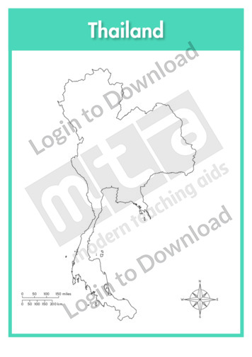
This outline map of Thailand is a single full page map complete with compass and scale that can be reproduced for classroom use. It is left blank for students to identify and label key cities, geographical landmarks and surrounding seas.
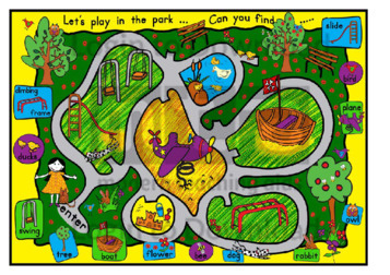
This full colour ‘The Park’ map can be reproduced for classroom use. It encourages students to identify some of the most common sights and features of the park and can be either a fun educational activity or addition to a community themed classroom display.
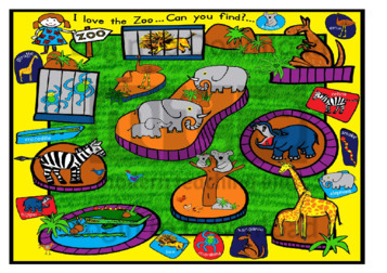
This full colour ‘The Zoo’ map can be reproduced for classroom use. It encourages students to identify some of the most common animals found in the zoo and can be either a fun educational activity or addition to an animals themed classroom display.
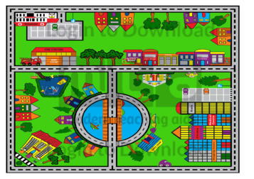
This full colour ‘Town Map’ illustration can be reproduced for classroom use. It features a variety of the most typical town landmarks and is a fun and educational addition to a community themed classroom display.
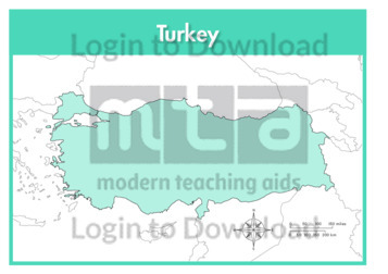
This full colour map of Turkey is a single full page map complete with compass and scale that can be reproduced for classroom use. It is left blank for students to identify and label key cities, geographical landmarks, surrounding seas and bordering countries.
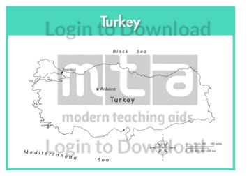
This outline map of Turkey with labels is a single full page map complete with compass and scale that can be reproduced for classroom use. It features labelled key cities and surrounding seas.
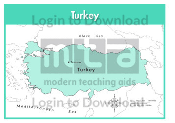
This full colour map of Turkey with labels is a single full page map complete with compass and scale that can be reproduced for classroom use. It features labelled key cities, surrounding seas and indicates bordering countries.
This outline map of Turkey is a single full page map complete with compass and scale that can be reproduced for classroom use. It is left blank for students to identify and label key cities, geographical landmarks and surrounding seas.
This full colour map of the United Kingdom is a single full page map complete with compass and scale that can be reproduced for classroom use. It is left blank for students to identify and label countries, key cities, geographical landmarks, surrounding seas and oceans and bordering countries. It also includes a compass and scale.
This outline map of the United Kingdom with labels is a single full page map complete with compass and scale that can be reproduced for classroom use. It features labelled countries, key cities islands, surrounding seas and oceans.

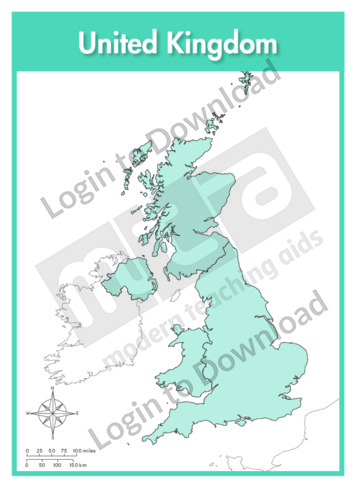
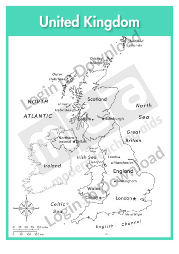
This full colour map of the United Kingdom with labels is a single full page map complete with compass and scale that can be reproduced for classroom use. It features labelled countries, key cities islands, surrounding seas and oceans and indicates bordering countries. It also includes a compass and scale.
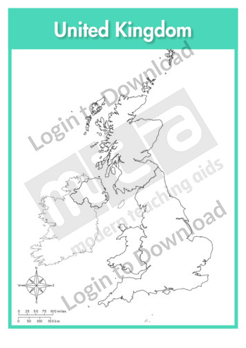
This outline map of the United Kingdom is a single full page map complete with compass and scale that can be reproduced for classroom use. It is left blank for students to identify and label countries, key cities, geographical landmarks islands, surrounding seas and oceans.
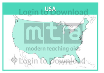
This full colour map of the USA is a 2-page map complete with compass and scale that can be reproduced for classroom use. It is left blank for students to identify and label key cities, geographical landmarks, surrounding seas and oceans and bordering countries. It features a full page map complete with compass and scale …More
This outline map of the USA with labels is a 2-page map complete with compass and scale that can be reproduced for classroom use. It features labelled states, key cities and surrounding seas and oceans. It includes a full page map complete with compass and scale of the contiguous USA and another page of the …More
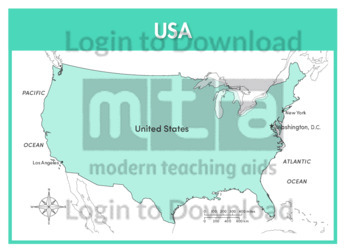
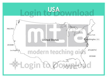
This full colour map of the USA with labels is a 2-page map complete with compass and scale that can be reproduced for classroom use. It features labelled key cities, geographical landmarks, surrounding seas and oceans and indicates bordering countries. It includes a full page map complete with compass and scale of the contiguous USA …More
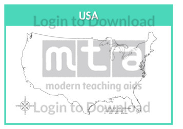
This outline map of the USA is a 2-page map complete with compass and scale that can be reproduced for classroom use. It is left blank for students to identify and label states, key cities, geographical landmarks and surrounding seas and oceans. It features a full page map complete with compass and scale of the …More
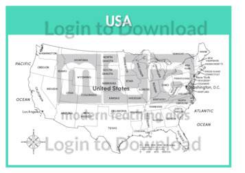
This outline map of the USA with state labels is a 2-page map complete with compass and scale that can be reproduced for classroom use. It features labelled states, key cities and surrounding seas and oceans. It includes a full page map complete with compass and scale of the contiguous USA and another page of …More
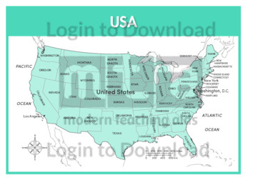
This full colour map of the USA with state labels is a 2-page map complete with compass and scale that can be reproduced for classroom use. It features labelled states, key cities, surrounding seas and oceans and indicates bordering countries. It includes a full page map complete with compass and scale of the contiguous USA …More
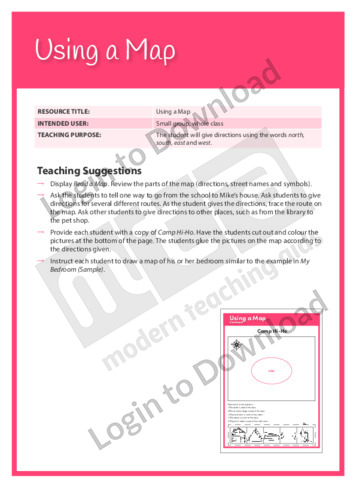
This Writing Traits activity, ‘Using a Map’ supports students learning about the representation of directions.
This full colour map of Venezuela is a single full page map complete with compass and scale that can be reproduced for classroom use. It is left blank for students to identify and label key cities, geographical landmarks, surrounding seas and oceans and bordering countries.
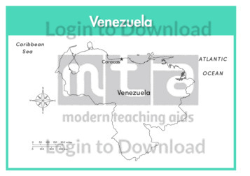
This outline map of Venezuela with labels is a single full page map complete with compass and scale that can be reproduced for classroom use. It features labelled key cities and surrounding seas and oceans.
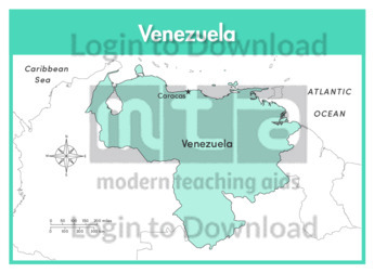
This full colour map of Venezuela with labels is a single full page map complete with compass and scale that can be reproduced for classroom use. It features the labelled capital city, surrounding seas and oceans and indicates bordering countries.
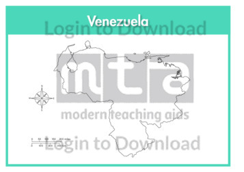
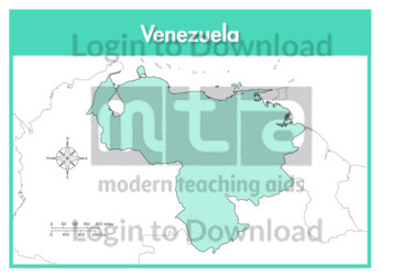
This outline map of Venezuela is a single full page map complete with compass and scale that can be reproduced for classroom use. It is left blank for students to identify and label key cities, geographical landmarks and surrounding seas and oceans.
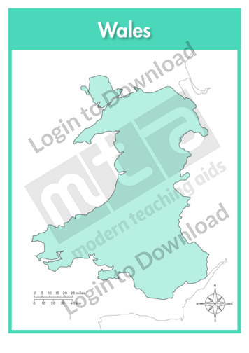
This full colour map of Wales is a single full page map complete with compass and scale that can be reproduced for classroom use. It is left blank for students to identify and label key cities, geographical landmarks, surrounding seas and bordering countries.
It�s that easy!