
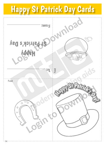
This template, ‘Happy St Patrick’s Day Card (hat)’ can be printed onto and folded into a card then coloured in. This is a great, simple activity for students to get involved in St Patrick’s Day celebrations.
This template, ‘Happy St Patrick’s Day Card (horse shoe)’ can be printed onto and folded into a card then coloured in. This is a great, simple activity for students to get involved in St Patrick’s Day celebrations.
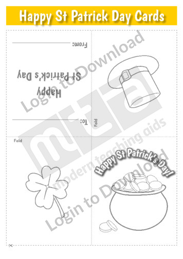
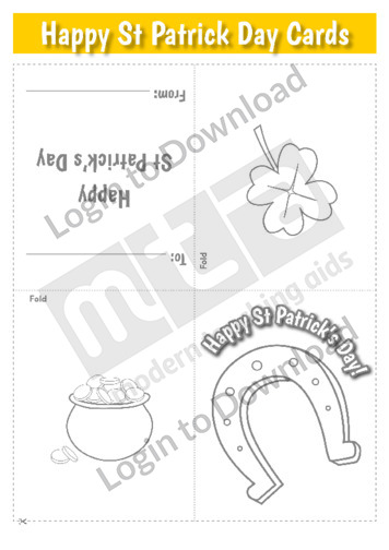
This template, ‘Happy St Patrick’s Day Card (pot of gold)’ can be printed onto and folded into a card then coloured in. This is a great, simple activity for students to get involved in St Patrick’s Day celebrations.
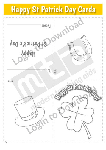
This template, ‘Happy St Patrick’s Day Card (shamrock)’ can be printed onto and folded into a card then coloured in. This is a great, simple activity for students to get involved in St Patrick’s Day celebrations.
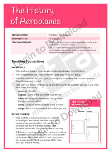
This Readers Theatre activity, ‘History of Aeroplanes’ encourages students to summarise information in the script and retell it in their own words. It also builds reading fluency. This activity includes a script for 4 readers.
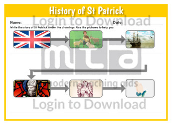
This worksheet, ‘History of St Patrick’ asks students to use a storyboard to visually represent the relationship between sequential events. This resource is particularly useful in prompting exploration into the history of St Patrick’s Day and requires students to explain the sequence of events using pictures clues provided. Alternatively the students may be given the …More
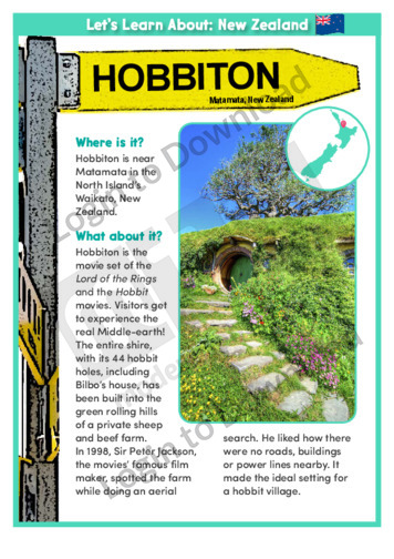
This geography article, ‘Hobbiton’ features the hobbit shire from the Lord of the Rings and Hobbit movies, located near Matamata in New Zealand’s North Island. It provides factual background information and is aimed at broadening students’ geographical and historical awareness in an engaging manner.
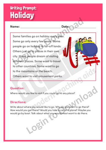
This writing prompt, ‘Holiday’ helps students to write about where they would like to go if they could go to any place. It encourages students to think about their ideal holiday and is aimed at broadening students’ writing and language skills.
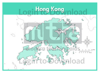
This full colour map of Hong Kong is a single full page map complete with compass and scale that can be reproduced for classroom use. It is left blank for students to identify and label key cities, geographical landmarks, surrounding seas and bordering countries.
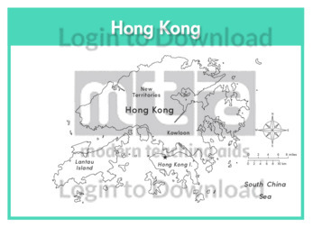
This outline map of Hong Kong with labels is a single full page map complete with compass and scale that can be reproduced for classroom use. It features labelled key cities and surrounding seas.
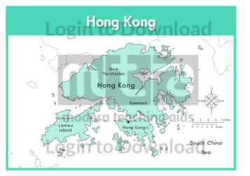
This full colour map of Hong Kong with labels is a single full page map complete with compass and scale that can be reproduced for classroom use. It features labelled key cities, surrounding seas and indicates bordering countries.
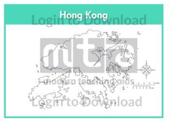
This outline map of Hong Kong is a single full page map complete with compass and scale that can be reproduced for classroom use. It is left blank for students to identify and label key cities and surrounding seas.
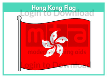
This flag worksheet features the Hong Kong flag in full colour followed by a black and white version for students to colour in the appropriate colours.
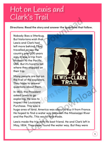
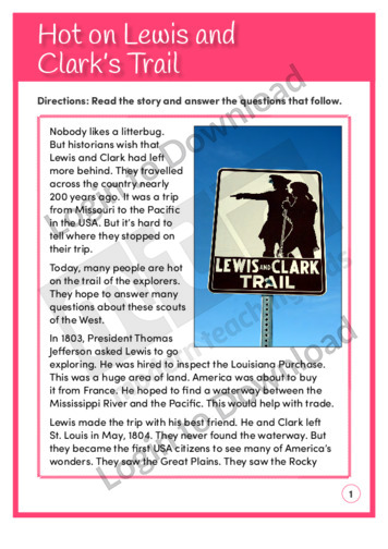
This reading comprehension activity, ‘Hot on Lewis and Clark’s Trail’, is available at two different reading levels to allow for differentiated instruction. It asks students to answer comprehension questions on a text about two explorers who travelled across America.
This reading comprehension activity, ‘Hot on Lewis and Clark’s Trail’, asks students to answer comprehension questions on a text about two explorers who travelled across America.
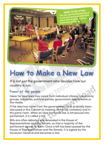
This article, ‘How to Make a New Law’ provides students with detailed factual information about the legislative process in Australia. It explains how there are various groups which make up our democracy who can influence the introduction of new laws, from individual citizens to government bodies. This is a great resource for broadening students’ political …More
This Reading Comprehension worksheet, ‘How to Write an Evacuation Plan’, features a procedural text about planning for emergencies such as volcanic eruptions and other natural disasters. It encourages students to use a variety of strategies to interpret the text and includes questions about importance, purpose, questioning, slant/bias, genre, and drawing a conclusion. Answer sheet provided …More
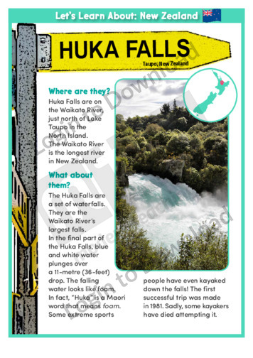
This geography article, ‘Huka Falls’ features this world-famous wonder that is located on the Waikato River, which is the longest river in New Zealand. It provides factual background information and is aimed at broadening students’ cultural, geographical and historical awareness in an engaging manner.
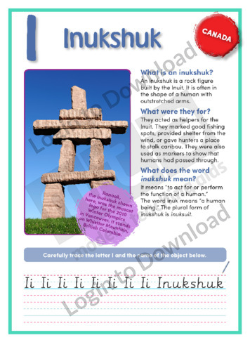
This geography article, ‘Inukshuk’, features factual information about this Inuit stone landmark. It is aimed at broadening students’ cultural, geographical, and historical awareness in an engaging manner.
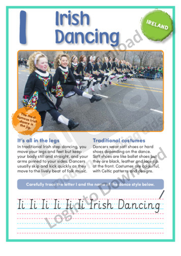
This short nonfiction text, ‘I: Irish Dancing’ features important factual background information about this traditional form of step dancing that is popular around the world. It is aimed at broadening students’ awareness of the symbols and icons associated with Irish culture and also features an activity for students to practise their handwriting.
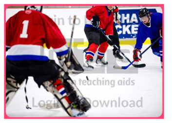
This photo activity card, ‘Ice Hockey’, provides integrated thematic vocabulary and oral language development activities on the topic of hockey. It is aimed at broadening students’ awareness of this iconic Canadian sport and can be used as a prompt for further discussion or study of Canada.
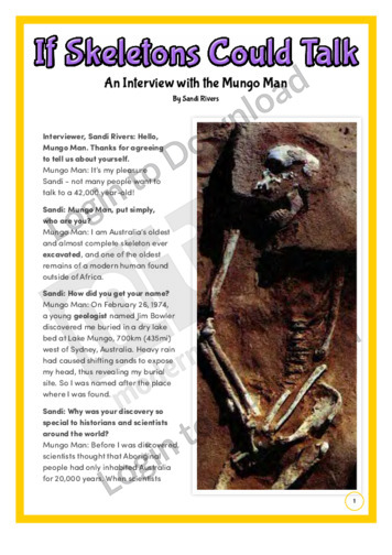
This history article, ‘If Skeletons Could Talk’ features a mock interview with Mungo Man, Australia’s oldest and almost complete skeleton ever excavated. It provides factual information about the discovery of Mungo Man and its significance and is aimed at broadening students’ cultural and historical awareness in a fun and engaging manner.
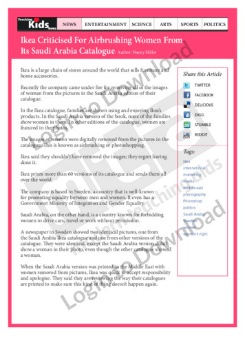
This kids news activity, ‘Ikea Criticised For Airbrushing Women From Its Saudi Arabia Catalogue’ is about an incident where women were airbrushed from Ikea’s Saudi catalogue and the Swedish company’s apologetic response.
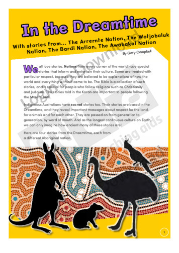
This history article, ‘In the Dreamtime’ features stories based on the Dreamtime from different Aboriginal nations. It includes stories from four different nations and is aimed at broadening students’ cultural and historical awareness.
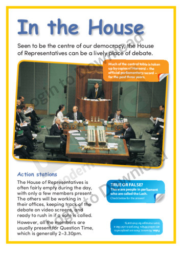
This article, ‘In the House’ provides students with factual information about the House of Representatives. It explains the House of Representatives’ day to day activities along with some key facts and statistics about the building that is the focal point of Australian politics. This is a great resource for broadening students’ political knowledge and interest …More

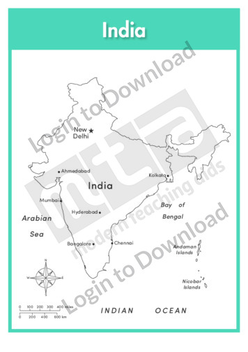
This full colour map of India is a single full page map complete with compass and scale that can be reproduced for classroom use. It is left blank for students to identify and label key cities, geographical landmarks, surrounding seas and oceans and bordering countries.
This outline map of India with labels is a single full page map complete with compass and scale that can be reproduced for classroom use. It features labelled key cities and surrounding seas and oceans.
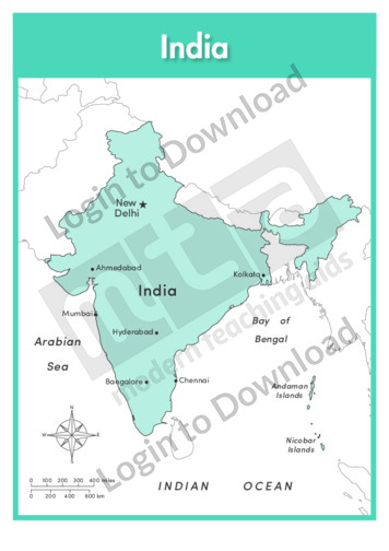
This full colour map of India with labels is a single full page map complete with compass and scale that can be reproduced for classroom use. It features labelled key cities, surrounding seas and oceans and indicates bordering countries.
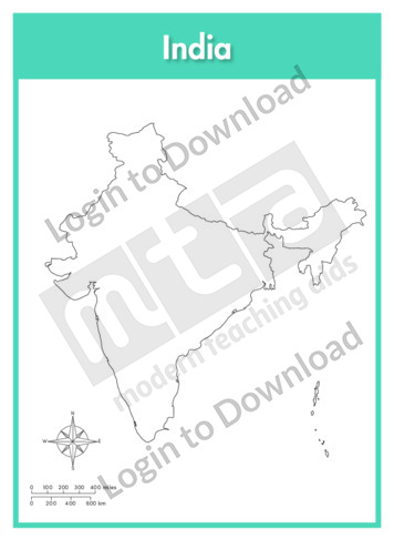
This outline map of India is a single full page map complete with compass and scale that can be reproduced for classroom use. It is left blank for students to identify and label key cities, geographical landmarks and surrounding seas and oceans.
This flag worksheet features the Indian flag in full colour followed by a black and white version for students to colour in the appropriate colours.
This history article, ‘Indigenous Australia’ features a timeline of significant events in Indigenous Australian history. It provides factual information and is aimed at broadening students’ cultural and historical awareness.
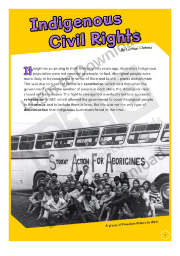
This history article, ‘Indigenous Civil Rights’ features the history of Indigenous civil rights in Australia. It provides factual information about significant events surrounding Indigenous civil rights and is aimed at broadening students’ cultural and historical awareness.
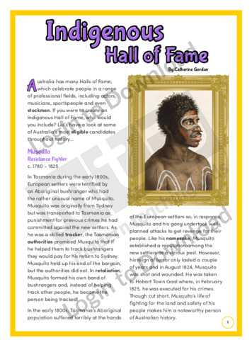
This history article, ‘Indigenous Hall of Fame’ features some of Australia’s most famous Indigenous people. It provides factual information about these people’s lives and accomplishments and is aimed at broadening students’ cultural and historical awareness.
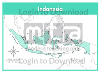
This full colour map of Indonesia is a single full page map complete with compass and scale that can be reproduced for classroom use. It is left blank for students to identify and label islands, key cities, geographical landmarks, surrounding seas and oceans and bordering countries.
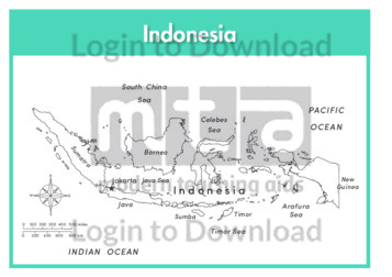
This outline map of Indonesia with labels is a single full page map complete with compass and scale that can be reproduced for classroom use. It features labelled islands and surrounding seas.
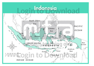
This full colour map of Indonesia with labels is a single full page map complete with compass and scale that can be reproduced for classroom use. It features labelled islands, surrounding seas and oceans and indicates bordering countries.
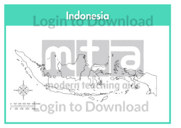
This outline map of Indonesia is a single full page map complete with compass and scale that can be reproduced for classroom use. It is left blank for students to identify and label islands, key cities, geographical landmarks and surrounding seas and oceans.
This flag worksheet features the Indonesian flag in full colour followed by a black and white version for students to colour in the appropriate colours.
This full colour map of Ireland is a single full page map complete with compass and scale that can be reproduced for classroom use. It is left blank for students to identify and label key cities, geographical landmarks, surrounding seas and oceans and bordering countries.
This outline map of Ireland with labels is a single full page map complete with compass and scale that can be reproduced for classroom use. It features the labelled capital city and surrounding seas and oceans.
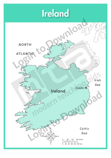
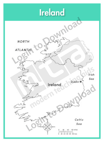
This full colour map of Ireland with labels is a single full page map complete with compass and scale that can be reproduced for classroom use. It features the labelled capital city, surrounding seas and oceans and indicates bordering countries.
This outline map of Ireland is a single full page map complete with compass and scale that can be reproduced for classroom use. It is left blank for students to identify and label key cities, geographical landmarks and surrounding seas and oceans.
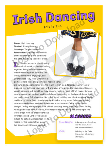
This history article, ‘Irish Dancing’ features the traditional dance style unique to Ireland and it’s rise to the global stage in modern times thanks to Michael Flatley. In provides factual information about Irish dancing, along with a glossary of unfamiliar words and terms from the text. It is aimed at broadening students’ cultural and historical …More
This flag worksheet features the Irish flag in full colour followed by a black and white version for students to colour in the appropriate colours.
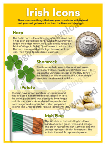
This history article ‘Irish Icons’ features important factual background information about the objects and symbols of Ireland. It identifies the Irish harp, the shamrock, the potato and the Irish flag as icons objects that are quintessentially Irish and that are deep-rooted in the country’s history. It is aimed at broadening students’ historical and cultural awareness …More
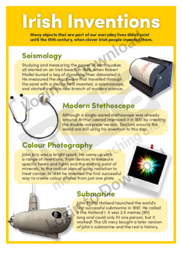
This history article ‘Irish Inventions’ features important factual background information about inventions made by Irish people during the 19th century that have shaped the way we live today. It highlights seismology, the modern stethoscope, colour photography and the successful launch of the submarine as key Irish inventions. It is aimed at broadening students’ historical and …More
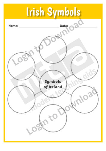
This worksheet, ‘Irish Symbols’ provides a blank web that students can use to organise and brainstorm types of Irish symbols and icons. It is a simple resource that can be used across all ability levels and either in groups, as individuals or during whole class discussions. It can also be used to consolidate learning or …More
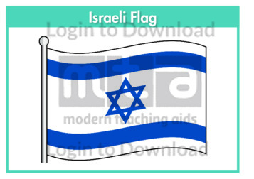
This flag worksheet features the Israeli flag in full colour followed by a black and white version for students to colour in the appropriate colours.
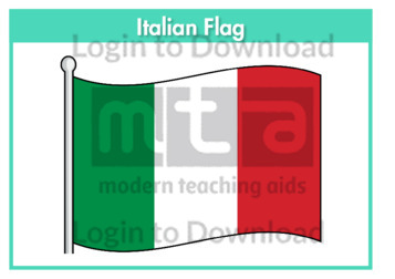
This flag worksheet features the Italian flag in full colour followed by a black and white version for students to colour in the appropriate colours.
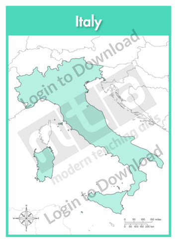
This full colour map of Italy is a single full page map complete with compass and scale that can be reproduced for classroom use. It is left blank for students to identify and label key cities, geographical landmarks, surrounding seas and bordering countries.
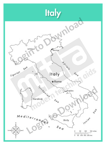
This outline map of Italy with labels is a single full page map complete with compass and scale that can be reproduced for classroom use. It features labelled key cities and surrounding seas.
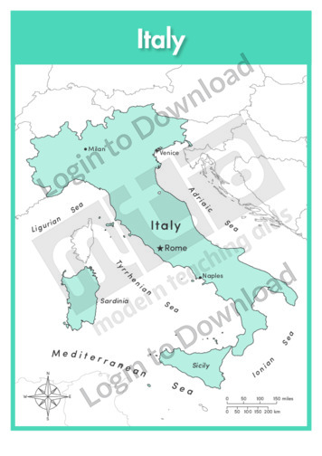
This full colour map of Italy with labels is a single full page map complete with compass and scale that can be reproduced for classroom use. It features labelled key cities, geographical landmarks, surrounding seas and indicates bordering countries.
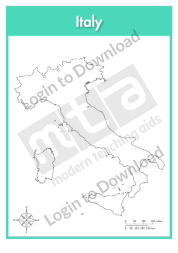
This outline map of Italy is a single full page map complete with compass and scale that can be reproduced for classroom use. It is left blank for students to identify and label key cities and surrounding seas.
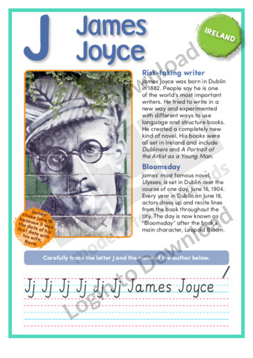
This short nonfiction text, ‘J: James Joyce’ features important factual background information about one of Ireland’s greatest writers, who changed the face of literature around the world. It is aimed at broadening students’ awareness of the symbols and icons associated with Irish culture and also features an activity for students to practise their handwriting.
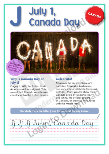
This geography article, ‘July 1, Canada Day’, features factual information about Canada’s birthday. It is aimed at broadening students’ cultural, geographical, and historical awareness in an engaging manner.
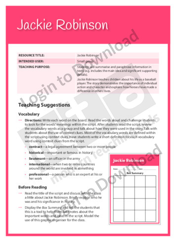
This Readers Theatre activity, ‘Jackie Robinson’ encourages students to summarise and paraphrase information in texts. It also builds reading fluency. This activity includes a script for 6 readers.
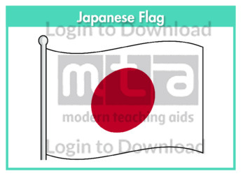
This flag worksheet features the Japanese flag in full colour followed by a black and white version for students to colour in the appropriate colours.
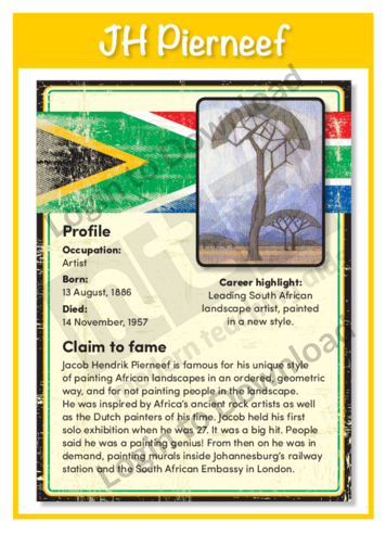
This history poster ‘JH Pierneef’ features important factual background information about this landscape artist who changed the face of painting in Africa. This is a great resource for broadening students’ knowledge of significant figures from South African history and could be used as a prompt for further discussion or study of art and painting.
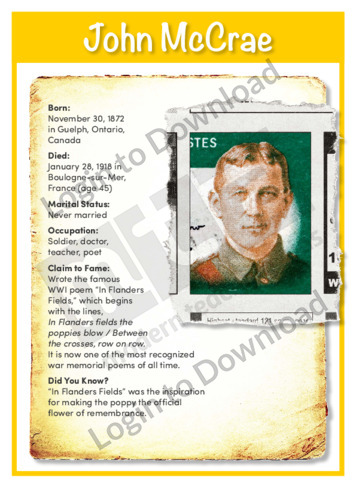
This profile, ‘John McCrae’, features important factual background information about this famous Canadian soldier and poet, and his famous WWI poem “In Flanders Fields.” It is aimed at broadening students’ historical and cultural awareness in an engaging manner, and could be used a prompt for further discussion or study about Canada.
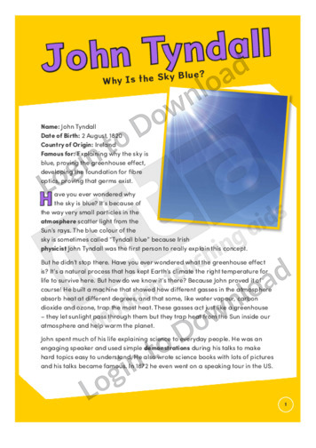
This history article, ‘John Tyndall’ features the Irish physicist who explained why the sky is blue, the greenhouse effect, invented the fire-fighter’s respirator and proved light could be bent, which paved the way for fibre optics. It provides factual information about the life of John Tyndall and his achievements, along with a glossary of unfamiliar …More
It�s that easy!